What is recorded here
Scotland's National Record of the Historic Environment records Unknown as Obstruction (period Unassigned)(possible). The official map says its point is accurate as follows: NGR given to the nearest 1m. The record does not by itself mean that the public may enter the place.
The historic-place record does not grant public access. Check current conditions and ownership before entering land or a building.
Places near here
 ENCLOSURE (O.S. memoir site, unlocated) in CarnalbanaghENCLOSURE (O.S. memoir site, unlocated) · 72 yd
 TRIANGULAR ENCLOSURE & TWO CAIRNS: CRAIG-AN-ARIFF FORT (destroyed) in CarnaneeTRIANGULAR ENCLOSURE & TWO CAIRNS: CRAIG-AN-ARIFF FORT (destroyed) · 546 yd
 CASTLE & SETTLEMENT SITE (unlocated) in GlebeCASTLE & SETTLEMENT SITE (unlocated) · 1106 yd
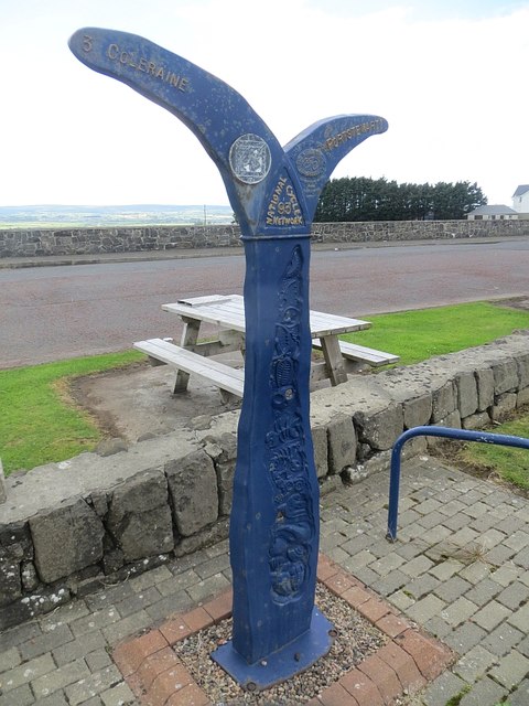 Millennium MilepostVisitor information · 1533 yd
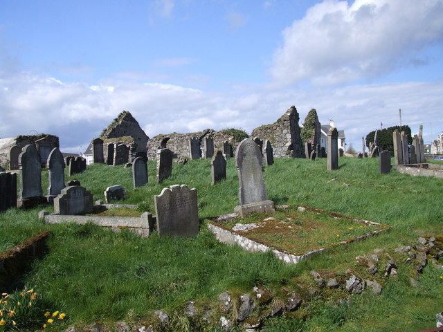 The ruins of the original Agherton Church Of Ireland ChurchRuins · 1.0 mi
 Quilley Picnic AreaPicnic place · 1.5 mi
 Portstewart StrandBeach / strand · 1.6 mi
 Cromore StationHouse · 1.9 mi
 Castlerock BeachBeach / strand · 2.8 mi
 Hezlett HouseHeritage attraction · 2.9 mi
 Somerset ForestForest · 3.5 mi
 Earl Bishop's Tree Trail, DownhillWalking route · 3.8 mi