What is recorded here
Indicated is a vanished rath in County Kerry, Ireland, marked only on an 1894 map as a twenty-metre circle. The landowner recalled a ring of earth smothered in overgrowth until ploughing erased it in the 1980s. What looked like pasture may have hidden a fortress, temple or fairy dwelling, but human ambition and agricultural convenience reduced that possibility to soil.
In pasture, on a gentle SW-facing slope. This possible rath is not visible at ground level. It is indicated on the 1894 OS 6-inch map as a circular area (diam. c. 20m). According to the landowner, a 'ring of earth' covered with overgrowth was levelled here in the 1980s.
Compiled by: Elizabeth Byrne, Ursula Egan and Sheila Ronan, Archaeological Survey Unit, University College, Cork.
Date of upload: 31 January 2011
The monument record does not grant public access. Check the route and ask the landowner before entering private land.
- What survives
- Recorded monument
Places near here
 Man-made underground passage in ArdywanigMan-made underground passage · 673 yd
 IndicatedEnclosure · 1.1 mi
 Knocknamucklagh Ho.Country house · 1.7 mi
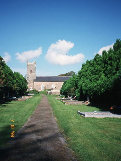 Saint Carthage's Church (Kiltallagh)church/chapel · 2.3 mi
 Site of Castle MaineCastle, Anglo-Norman masonry castle · 2.3 mi
 The Kerry Creamery ExperienceHeritage attraction · 2.4 mi
 Cloonmealane CastleCastle · 2.5 mi
 Ballygamboon Forest Recreation AreaWood · 4.0 mi
 Clash IslandIslet · 5.0 mi
 KnockmoyleMountain / peak · 5.1 mi
 Cloon IslandIsland · 5.4 mi
 Dunloe Ogham StonesHeritage attraction · 6.2 mi