What is recorded here
Indicated, Ardfinnan stands on a massive rock outcrop above the River Suir, where King John erected a castle in 1185 before Philip of Worcester granted the land to Gerald fitz Maurice. The surviving limestone bawn, keep and later towerhouse witnessed Cromwellian seizures and Civil Survey inventories, yet its broken walls still guard the precipice. Whatever life moved inside that rectangle likely watched the water below, marked the seasons and waited for the next hand to claim the rock.
In a strategic position on top of a massive rock outcrop overlooking the River Suir to the S. According to the annals King John erected a castle at Ardfinnan in 1185 (O'Flanagan 1930, vol. 1, 27-8), this was probably when the land was granted to 'Philip of Worcester [who] was certainly in possession of Offa (alias Ardfinnan) at an early stage of the conquest, for he granted a fief there to Gerald fitz Maurice' (Empey 1981, 8, 10). The 13th-century keep (TS088-001001-) is located in the NE angle of the bawn and a towerhouse (TS088-001009-) was built onto the SE angle in the 15th century. The castle was beseiged during the Cromwellian wars in the mid-17th century (Killanin and Duignan 1967, 66). The Civil Survey (1654-6) in relation to 'The Mannor & castle of Ardfynane' in 1640, lists the Bishop of Waterford and Lismore as the proprietor and 'Richard Butler of Ardfinane' as 'Lessee' and states that 'Upon the s[ad]d lands stands a castle & the walls of a castle, ye walls of a stone house & a bawne' (Simington 1934, vol. 2, 410). The bawn is composed of limestone rubble roughly coursed, with an external base-batter. It formerly enclosed a rectangular area, however, only the S length which runs alongs the precipitous edge of the outcrop, a small portion of the SW angle and the E wall (L 25.15m) survive. A gateway (Wth 3.09m) is located in the E wall near the keep in the NE angle, it is possibly an 18th/19th century insertion, though the voussoirs on the W face are thin, rough limestone blocks set on edge which may indicate a pre-18th century date.
Compiled by: Jean Farrelly
Date of upload: 26 November 2013
King John of England built Ardfinnan Castle in 1185, establishing it as a key stronghold in his campaign to extend English control into Munster. Its strategic location on a rock outcrop overlooking the River Suir made it vital for controlling local trade and military movements in the region.
The monument record does not grant public access. Check the route and ask the landowner before entering private land.
- What survives
- Recorded monument
Places near here
 Ardfinnan Castlecountry house · 39 yd
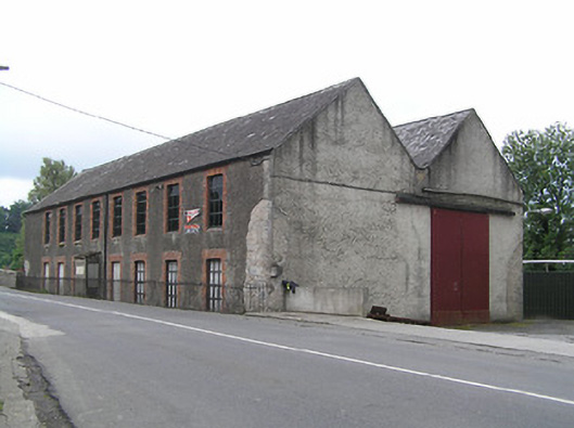 mill (water)mill (water) · 97 yd
 Settlement desertedSettlement deserted, medieval · 292 yd
 Enclosure in ArdfinnanEnclosure · 700 yd
 Woodcock HillMountain / peak · 1.2 mi
 Ballydrinan CastleCastle, tower house · 1.3 mi
 Bawn in RochestownBawn · 1.5 mi
 Pedunculate OakPedunculate Oak · 3.0 mi
 Kildanogue wildfowl sanctuary and nature reserveNature reserve · 3.3 mi
 Roche's HillMountain / peak · 4.2 mi
 The VeeViewpoint · 4.4 mi
 Grubb’s GraveMemorial · 4.5 mi