What is recorded here
Ardees Lower holds a rath, an ancient earthwork whose boundary still marks the land. The official record preserves only its name and kind, leaving its builders and days unresolved. A rath is not a vague shape but a made place, likely enclosing a home, a yard or a claimed area. Its survival means someone shaped the earth, used the space and left it standing for later people to find.
The official Northern Ireland record identifies this as RATH. Recorded period: E.CHRIST.. The official map point was placed at the centre of the recorded archaeological site from the source map reference.
The monument record does not grant public access. Check the route and ask the landowner before entering private land.
- What survives
- Recorded monument
Places near here
 Ferny IslandIsland · 737 yd
 ENCLOSURE in SlawinENCLOSURE · 851 yd
 MuckinishIsland · 911 yd
 GRAVEYARD & ENCLOSURE in SlawinGRAVEYARD & ENCLOSURE · 1283 yd
 Castle Caldwell ForestWood · 1.6 mi
 C17TH CHURCH & GRAVEYARD at CASTLE CALDWELL in RossbegC17TH CHURCH & GRAVEYARD at CASTLE CALDWELL · 1.6 mi
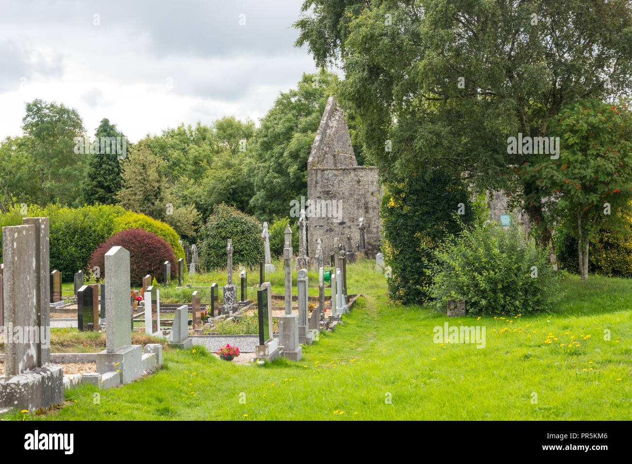 GraveyardRuins · 1.6 mi
 RSPB Lower Lough Erne IslandsNature reserve · 1.6 mi
 CASTLE: CASTLE CALDWELL in RossbegCASTLE: CASTLE CALDWELL · 1.8 mi
 Old Man's HeadHeritage attraction · 2.5 mi
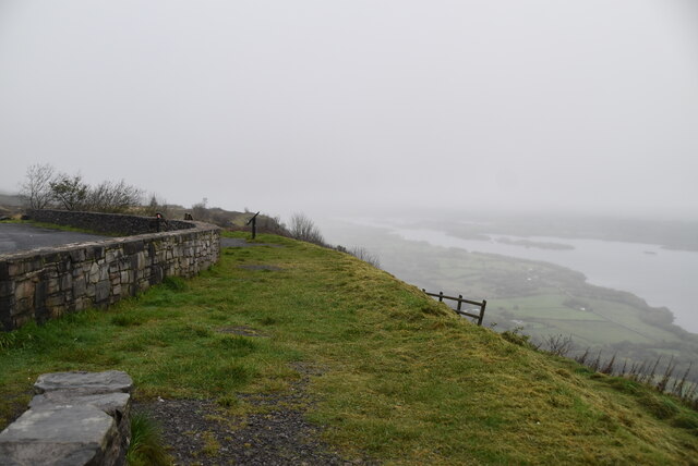 Cliffs of MaghoViewpoint · 3.2 mi
 Belleek PotteryHeritage attraction · 4.3 mi