What is recorded here
In the S sector of an ecclesiastical enclosure (TS074-010----) known as St. Berrihert's Kyle and incorporated in an oval stone enclosure, stepped internally, built by the OPW in 1946 (Ó hÉailidhe 1967, 102). This slab is located in the S sector, on internal ledge. It is described by Ó hÉailidhe (1967, 118) as slab 69, composed of red sandstone (dims 0.3m x 0.18m), 'thickness and back are not visible. Latin cross in low relief (6mm).
Compiled by: Jean Farrelly
Date of upload: 26 August 2011
Probably dates to the early medieval period, associated with Christian worship or commemoration, given its location within an ecclesiastical enclosure linked to St. Berrihert. It may have functioned as a memorial or waymark cross.
The monument record does not grant public access. Check the route and ask the landowner before entering private land.
- What survives
- Recorded monument
Places near here
 CrossCross, High cross · 1 yd
 Site of St.Berriherts Church; Grave YardChurch · 9 yd
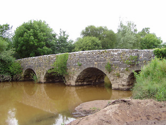 Ashgrove Bridgebridge · 839 yd
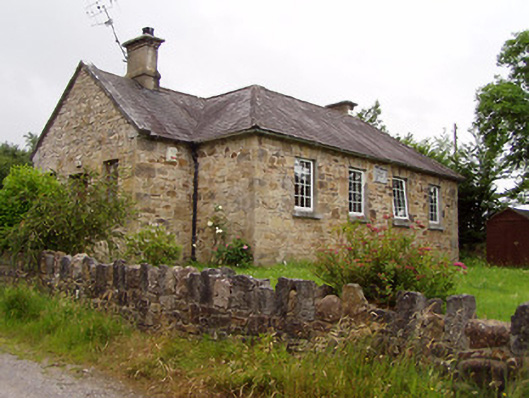 Ardane National Schoolschool · 1035 yd
 Ballydavid WoodWood · 1.7 mi
 SturrakeenMountain / peak · 1.8 mi
 Pedunculate OakPedunculate Oak · 2.0 mi
 Laghtshanaquilla North-East TopMountain / peak · 2.0 mi
 Cappa Castle (in ruins)Castle, tower house · 2.1 mi
 Cashlaunbeg (in ruins)Bawn · 2.1 mi
 The RockViewpoint · 3.9 mi
 Christ the KingViewpoint · 4.0 mi