What is recorded here
In the S sector of an ecclesiastical enclosure (TS074-010----) known as St. Berrihert's Kyle and incorporated in an oval stone enclosure, stepped internally, built by the OPW in 1946 (Ó hÉailidhe 1967, 102). This slab is located in the N sector, on internal ledge. It is described by Ó hÉailidhe (1967, 118) as slab 58, composed of red sandstone (dims 0.48m x 0.19m; T 0.065m). 'This stone has been dressed to a regular width and the face pocked smooth. Latin cross in low relief (3mm). Thickness and back are not visible' (ibid.).
Compiled by: Jean Farrelly
Date of upload: 26 August 2011
The monument record does not grant public access. Check the route and ask the landowner before entering private land.
- What survives
- Recorded monument
Places near here
 CrossCross, High cross · 1 yd
 Site of St.Berriherts Church; Grave YardChurch · 9 yd
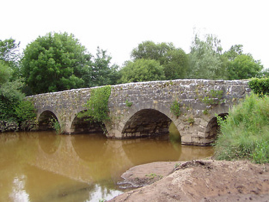 Ashgrove Bridgebridge · 839 yd
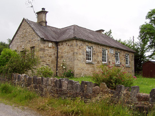 Ardane National Schoolschool · 1035 yd
 Ballydavid WoodWood · 1.7 mi
 SturrakeenMountain / peak · 1.8 mi
 Pedunculate OakPedunculate Oak · 2.0 mi
 Laghtshanaquilla North-East TopMountain / peak · 2.0 mi
 Cappa Castle (in ruins)Castle, tower house · 2.1 mi
 Cashlaunbeg (in ruins)Bawn · 2.1 mi
 The RockViewpoint · 3.9 mi
 Christ the KingViewpoint · 4.0 mi