What is recorded here
On a gentle N-facing slope in a small wooded area surrounded by marsh and rough meadow, in the Glen of Aherlow at the foot of the Galty mountains. At 'St Berrihert's Kyle' where there is an island in the marsh which formed the ecclesiastical enclosure (TS074-010----) for the 7th-century saint. On this island there a stone-walled enclosure built by the OPW in 1946 for the purpose of securing and displaying cross-slabs which were found at the location (Ó hÉailidhe 1967, 102). On the SE side, at the base of the wall there is a cross-base consisting of a roughly rectangular block (dims. 1m x 1.25m; H 0.4m) with rectangular socket (dims. 0.23m x 0.38m; D 0.18m). On the surface of the cross-base there is a shallow, oval depression (dims. 0.28m x 0.36m; D 0.08m), interpreted as a bullaun (ibid., 108).
Compiled by: Jean Farrelly
Date of upload: 03 July 2014
The monument record does not grant public access. Check the route and ask the landowner before entering private land.
- What survives
- Recorded monument
Places near here
 CrossCross, High cross · 1 yd
 Site of St.Berriherts Church; Grave YardChurch · 9 yd
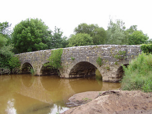 Ashgrove Bridgebridge · 839 yd
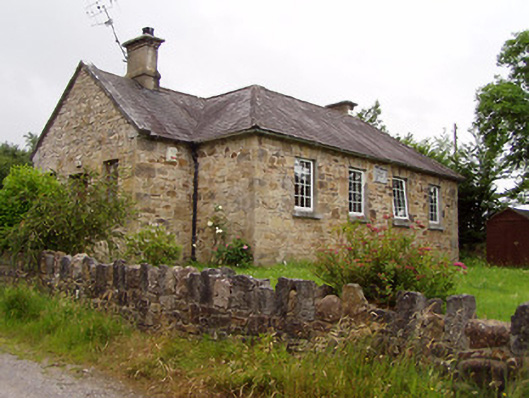 Ardane National Schoolschool · 1035 yd
 Ballydavid WoodWood · 1.7 mi
 SturrakeenMountain / peak · 1.8 mi
 Pedunculate OakPedunculate Oak · 2.0 mi
 Laghtshanaquilla North-East TopMountain / peak · 2.0 mi
 Cappa Castle (in ruins)Castle, tower house · 2.1 mi
 Cashlaunbeg (in ruins)Bawn · 2.1 mi
 The RockViewpoint · 3.9 mi
 Christ the KingViewpoint · 4.0 mi