What is recorded here
The following description is derived from both the published 'Archaeological Inventory of County Louth' (Dublin: Stationery Office, 1986) and the 'Archaeological Survey of County Louth' (Dublin: Stationery Office, 1991). In certain instances the entries have been revised and updated in the light of recent research.
Date of upload/revision: 17 July 2007
Four holy water stoups (LH024-001002-, LH024-001004-, LH024-001005-, LH024-001006-) probably late medieval in date, located in the graveyard close to the Catholic church. At the SE side of the church are two of the stoups, one of limestone and the other of sandstone.
LH024-001002- is a limestone stoup with one face roughly dressed, made from an almost rectangular block of stone (0.37m by 0.34m by 0.28m, basin 0.26m in diam., D 0.12m).
The monument record does not grant public access. Check the route and ask the landowner before entering private land.
- What survives
- Recorded monument
Places near here
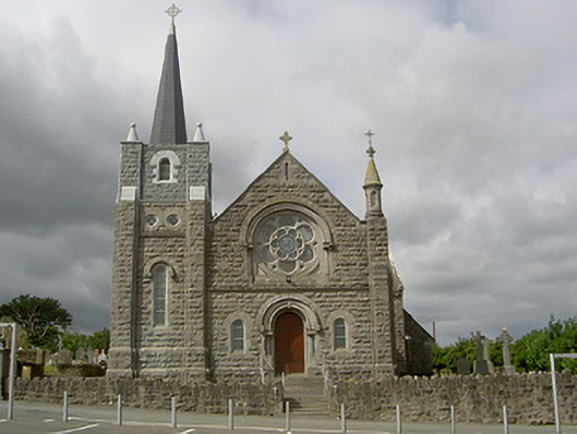 Catholic Church of Our Lady of the Assumptionchurch/chapel · 12 yd
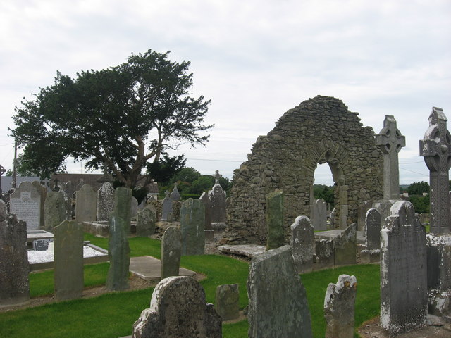 Church (in Ruins)Church · 28 yd
 Enclosure in TullyallenEnclosure · 432 yd
 Man-made underground passage in MellMan-made underground passage · 1517 yd
 Battle of the Boyne Visitor CentreMuseum · 1523 yd
 Battle of the BoyneMajor battlefield · 1566 yd
 European YewEuropean Yew · 1.0 mi
 Grove IslandIslet · 1.0 mi
 Quarry Garden WoodForest · 1.1 mi
 Yellow IslandIslet · 1.3 mi
 Proudfootstown CastleCastle, unclassified · 1.5 mi
 Drummond TowerCastle · 2.0 mi