What is recorded here
Millennium Milepost for National Cycle Network route 9, indicating west (upstream) to Shaws Bridge (1½ miles), east (downstream) to Belfast (3½ miles), north to Lagan Meadows (¼ mile), and south across Brown Bridge to Belvoir Park Forest (½ mile)
- Operator
- Walk Wheel Cycle Trust
- Distance
- 3.5mi;1.5mi;0.25mi;0.5mi
Places near here
 Boundary PostBoundary Marker · 14 yd
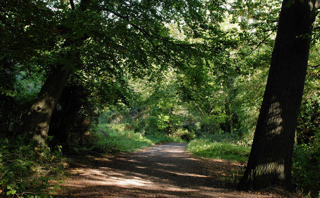 Lagan MeadowsNature reserve · 341 yd
 Belvoir Park ForestForest · 374 yd
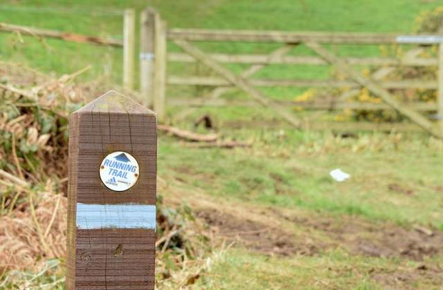 Lagan TrailWalking route · 610 yd
 Highway to Health, CastlereaghWalking route · 691 yd
 Boundary Post nearBoundary Marker · 959 yd
 ENCLOSURE in BallynavallyENCLOSURE · 1190 yd
 ARTILLERY FORT, FORTIFIED HOUSE & BAWN (site of) in Malone UpperARTILLERY FORT, FORTIFIED HOUSE & BAWN (site of) · 1607 yd
 MinnowburnVisitor information · 1646 yd
 FORTIFIED HOUSE & ?BAWN (unlocated): MOSES HILL'S HOUSE in Malone LowerFORTIFIED HOUSE & ?BAWN (unlocated): MOSES HILL'S HOUSE · 1757 yd
 C-shaped enclosure (Barrie Hartwell ref. BNH 14) in BallynahattyC-shaped enclosure (Barrie Hartwell ref. BNH 14) · 1.2 mi
 Belvoir Oak WoodWood · 530 yd