What is recorded here
Aghalislone holds a rath and barrow, marking the area as an ancient landscape of burial and defense rather than a single obvious monument. The name Rath appears throughout County Antrim because such places were common: raised earthworks, hidden compartments, boundary markers and meeting grounds. They are not exotic compared with the rest of the county; they are the ordinary shape of old human life, repeated until the land itself seems to remember being watched.
Rath is recorded as a archaeological place in County Antrim. Its open map record supplies this location and any linked names or public references.
Places near here
 TullyMountain / peak · 828 yd
 ENCLOSURE in BallynafieENCLOSURE · 1195 yd
 Top WoodWood · 1645 yd
 ENCLOSURE (unlocated) in AughnahoyENCLOSURE (unlocated) · 1684 yd
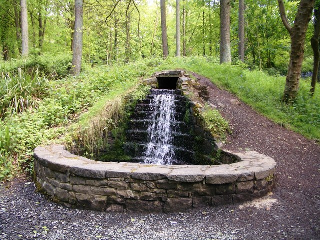 Portglenone ForestForest · 1.3 mi
 Masonic HallHall · 1.6 mi
 Parish ChurchChurch · 1.8 mi
 CASTLE (site of): PORTGLENONE CASTLE in GarvaghyCASTLE (site of): PORTGLENONE CASTLE · 2.0 mi
 FORD across R. BANN & SITE OF BATTLE, 1689 (see also ANT 031:052 for opposite side of the river) in GlenoneFORD across R. BANN & SITE OF BATTLE, 1689 (see also ANT 031:052 for opposite side of the river) · 2.3 mi
 Scroggy Mass RockNamed rock · 4.2 mi
 Seamus HeaneyMemorial · 4.3 mi
 MOTTE AND BAILEY: McQUILLAN'S CASTLE in GalgormMOTTE AND BAILEY: McQUILLAN'S CASTLE · 4.5 mi