What is recorded here
An Gabhlán Ard in County Kerry is a cashel with several hut sites, not the graveyard marked on some maps. Stone edges still outline rectangular, circular and oval floors beside the main entrance, suggesting people lived, worked or sheltered there before the place became a label on paper. The stones do not claim to be graves; they shape small rooms where human hands may have placed each piece.
Though marked on the OS maps as a graveyard, and referred to in the OSNB (Kinard, 30) as a calluragh, the remains here seem to be those of a cashel (KE044-085001-) with hut-sites (KE044-085002-, KE044-085004-, KE044-085005- & KE044-085006-).
Immediately S of the entrance are the remains of a rectangular structure, 3m long E-W x 1.9m wide. Directly W of this a single course of stone masonry outlines a roughly circular area, 1.8m in diameter. A roughly oval depression, defined by stones, lies SW of the latter, and measures 3.7m long SE-NW x 1.8m wide. These appear to be hut-sites, and there are traces of a 4th possible hut in the S sector.
The above description is derived from J. Cuppage, ‘Corca Dhuibhne. Dingle Peninsula archaeological survey. Ballyferriter. Oidhreacht Chorca Dhuibhne’ (1986), no. 576. In certain instances the entries have been revised and updated in the light of recent research.
Date of upload: 7 August 2013
The monument record does not grant public access. Check the route and ask the landowner before entering private land.
- What survives
- Recorded monument
Places near here
 Fairy fort / stone ringfort in An Gabhlán ArdFairy fort / stone ringfort · 5 yd
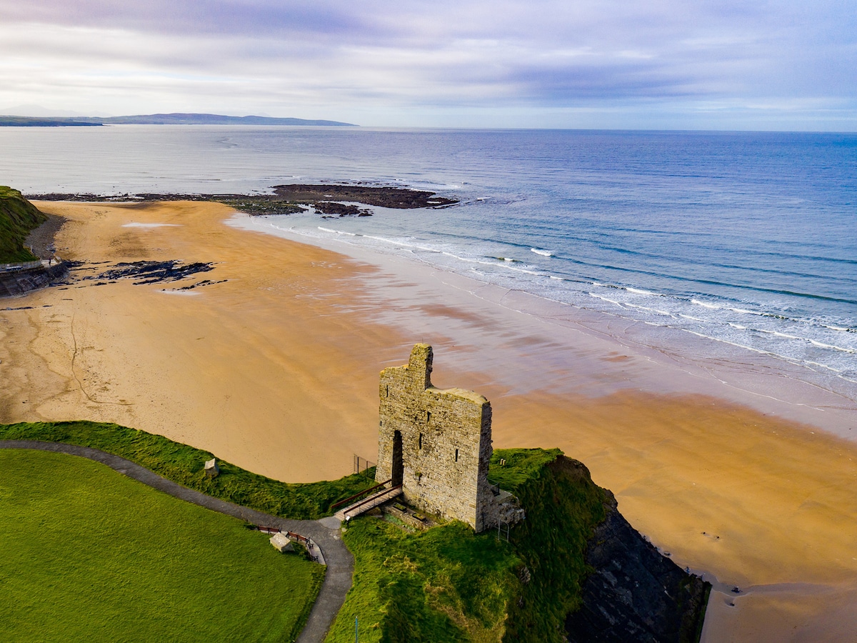 Man-made underground passage in An Gabhlán ThoirMan-made underground passage · 518 yd
 Séipéal Eoin Baiste [Catholic Church of Saint John the Baptist]church/chapel · 1561 yd
 Lispole Viaductbridge · 1589 yd
 Lispole Ambush MonumentWayside cross · 1629 yd
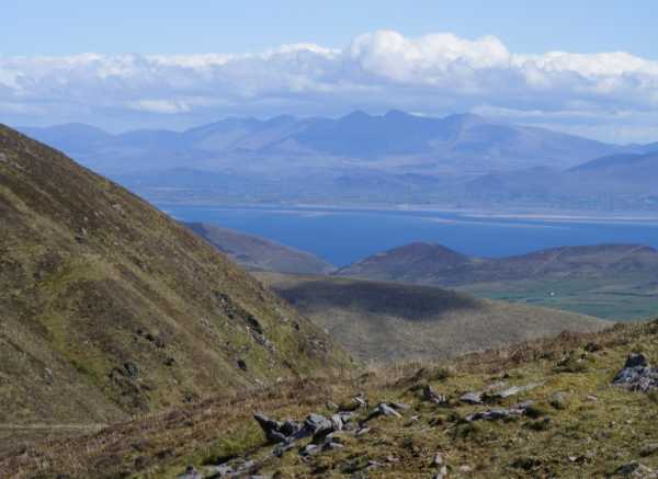 An Cnapán MórMountain / peak · 1.6 mi
 Cruach SceirdeMountain / peak · 1.8 mi
 Caisleán na Mine AirdeCastle · 2.3 mi
 Minard Castle (in ruins)Castle, tower house · 2.3 mi
 Tobar EoinSpring · 2.3 mi
 CarrigavinnaunNamed rock · 2.9 mi
 Acres PointHeadland · 2.9 mi