What is recorded here
Indicated is a circular rath on a gentle slope above Lough Currane, where a stone hut still holds its shape inside the grassy bank. The fort faces the water, while field walls cut across it now, as if human life continued around the older structure rather than abandoning it. Its two gaps may be later entrances, leaving the true doorway hidden beneath turf and time.
Internal diam. 27.3m N-S, 29.5m E-W
This circular univallate rath is located on gentle S sloping land c. 350m N of Lough Currane. Coomduff ridge extends to NE and the site affords an extensive view across the lake. A field boundary overlies the N half of the earthen enclosing element, from which three field walls radiate outwards. Stones can be detected in the composition of the bank through the heavy grass-cover, and stone collapse along its inner face suggests that it may have originally been drystone-faced. The bank is best preserved at S, where it stands 2.75m high externally and .6m high internally. It measures 1.1m wide across its crest, and its outer flank splays very widely and features an abundant growth of furze bushes. Two gaps in the bank at E and W provide access to the interior but appear to be secondary features. It is not clear where the original entrance was located.
The remnants of a circular hut (KE098-015001-) are located in the NW quadrant of the rath. Its sod-covered stone walls survive to an external height of .7m, and the structure has an internal diameter of 4.5m.
The above description is derived from A. O'Sullivan and J. Sheehan (compilers), 'The Iveragh peninsula: an archaeological survey of South Kerry'. Cork University Press (1996), no. 473. In certain instances the entries have been revised and updated in the light of recent research.
Date of upload: 28 July 2013
The monument record does not grant public access. Check the route and ask the landowner before entering private land.
- What survives
- Recorded monument
Places near here
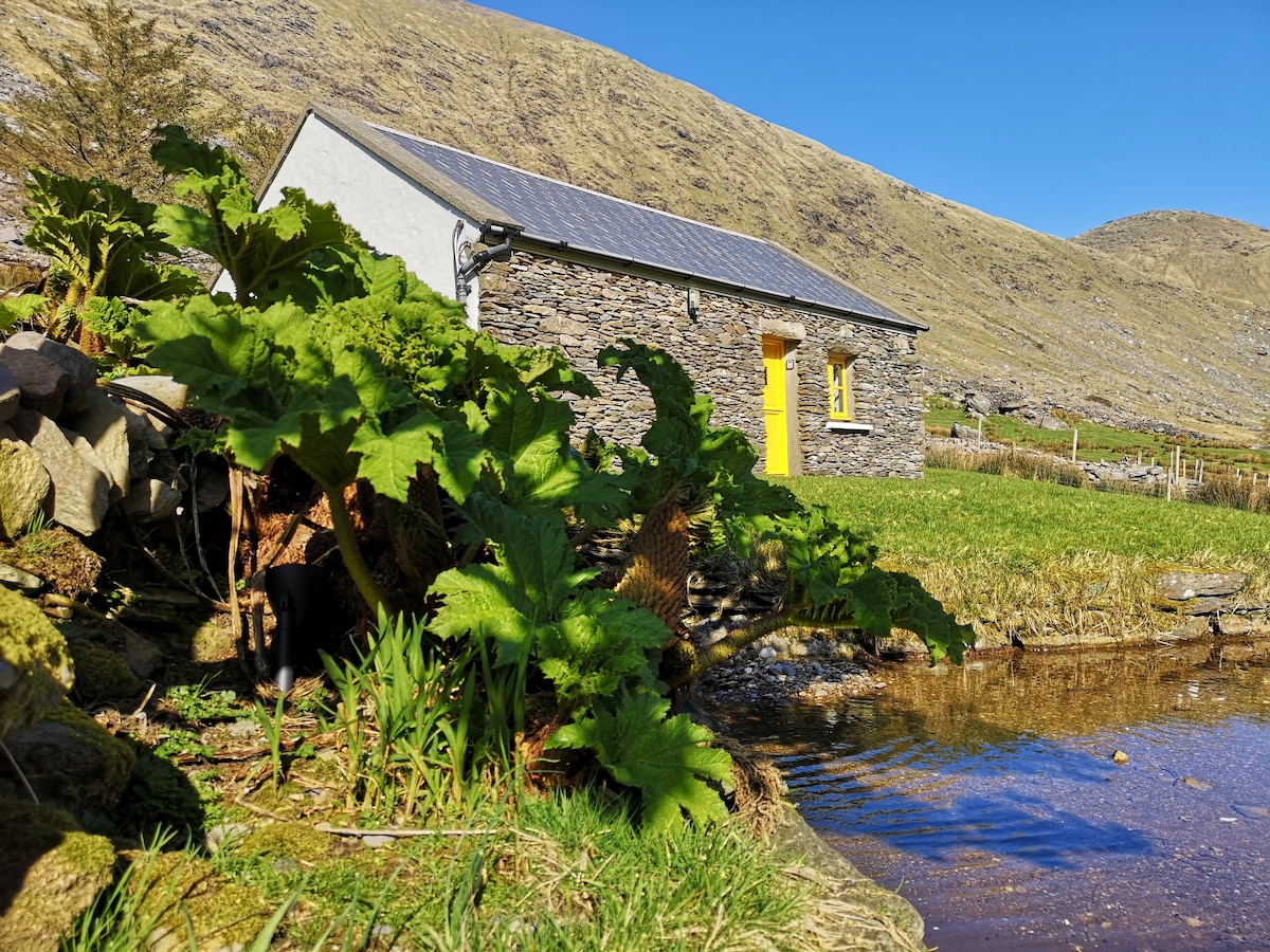 Hut site in An Chathair BhearnachHut site · 11 yd
 Barnagh FortFairy fort / stone ringfort · 495 yd
 St Finans CellHouse, early medieval · 1.0 mi
 St Finans ChurchChurch · 1.0 mi
 CoomduffMountain / peak · 1.5 mi
 An PlaoscHeadland · 2.1 mi
 CastleCastle, tower house · 2.5 mi
 GlanbegMountain / peak · 2.5 mi
 Butler MemorialMemorial · 2.6 mi
 T. C. Millerick MemorialMemorial · 2.6 mi
 Waterville PromenadeWalking route · 2.7 mi
 Inny StrandBeach / strand · 3.4 mi