What is recorded here
That is all you can know. You must go inside the request, not repeat the claim.
In the SE quadrant of the rath was the slot-trench of a small circular hut-site (int. diam. 2.7m) surviving as arcs at NW and SE with a terminal at the N end of the SE section where the entrance probably was. A later burial was in its centre and a NE-SW gully in the interior probably relates to the entrance of the rath at SE. Three truncated kilns were close to the centre of the rath but probably relate to Phase 4, as might the hut-site. (McGlade 2017, vol. 1, 31-2)
See the attached plan from McGlade (2017, vol. 1, P 44) _01 location:
Compiled by: Michael Moore
Date of upload: 19 April, 2023
McGlade, S. 2017 Preliminary Excavation Report, Site D, Alexander Reid, Navan. Licence: 16E0449. Unpublished report, 2 vols Archaeology Plan
The monument record does not grant public access. Check the route and ask the landowner before entering private land.
- What survives
- Recorded monument
Places near here
 Enclosure in Alexander ReidEnclosure · 19 yd
 Font (present location) in Johnstown (skreen By.)Font (present location) · 1070 yd
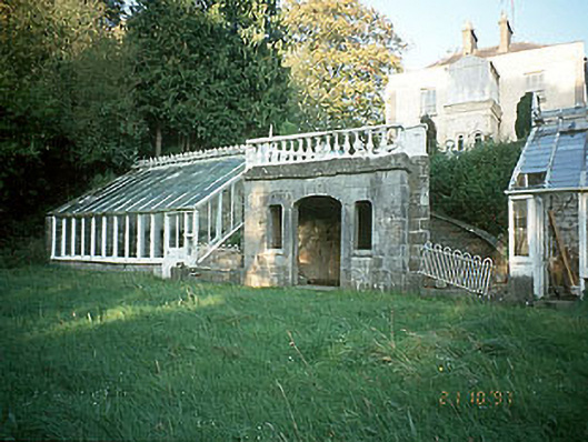 Boyne View Housesummerhouse · 1457 yd
 worker's houseworker's house · 1467 yd
 CastleCastle, motte · 1.1 mi
 Carn HillMountain / peak · 1.1 mi
 The RampartWood · 1.4 mi
 Rowley's WoodWood · 1.6 mi
 Donaghmore Round TowerHeritage attraction · 1.8 mi
 Nangle CourtMemorial · 2.3 mi
 Site of Old CastleCastle, unclassified · 3.3 mi
 Hill of TaraVisitor information · 4.7 mi