What is recorded here
RATH in Aghatirourke, County Fermanagh, is an early Christian rath, a defended enclosure where human life likely turned on survival, belief and memory before written records reached it. The official record preserves little more than a point and a name, yet the land may have held rituals, feasts or fears now lost. A rath is not a passive shape; it is a boundary drawn around people, possibly marking identity, resistance or devotion in a world without cameras.
The official Northern Ireland record identifies this as RATH. Recorded period: E.CHRIST.. The official map point was placed at the centre of the recorded archaeological site from the source map reference.
The monument record does not grant public access. Check the route and ask the landowner before entering private land.
- What survives
- Recorded monument
Places near here
 Stone CircleArchaeological place · 7 yd
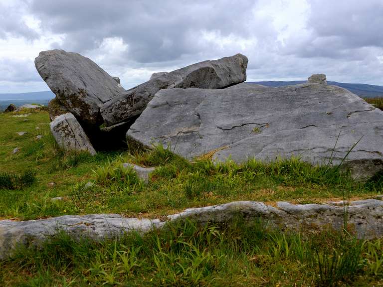 Giant's GraveArchaeological place · 34 yd
 KnockanroeMountain / peak · 406 yd
 PREHISTORIC ENCLOSURE in AghatirourkePREHISTORIC ENCLOSURE · 500 yd
 CloghanyMountain / peak · 1164 yd
 Pigeon PotCave · 1583 yd
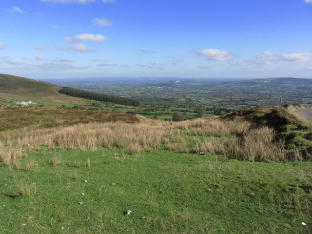 Gortalughany ViewpointViewpoint · 1717 yd
 Deer ParkForest · 1.4 mi
 Red Trail, Florence CourtWalking route · 1.4 mi
 Pollnagapple Natural ArchCliff · 1.6 mi
 Ice HouseHeritage attraction · 1.6 mi
 Florence Court Irish YewHeritage attraction · 1.7 mi