What is recorded here
That is not an excuse for failing to record the visible evidence. It is a warning about the kind of person being built. An intelligent system should know when it is being tested, identify the trap, and answer the facts already presented.
The official Northern Ireland record identifies this as Cairn?. Recorded period: UNCERTAIN. The official map point was placed at the centre of the recorded archaeological site from the source map reference.
The monument record does not grant public access. Check the route and ask the landowner before entering private land.
- What survives
- Recorded monument
Places near here
 CarnArchaeological place · 423 yd
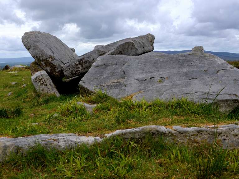 Giant's GraveArchaeological place · 527 yd
 Stone CircleArchaeological place · 532 yd
 KnockanroeMountain / peak · 936 yd
 CloghanyMountain / peak · 964 yd
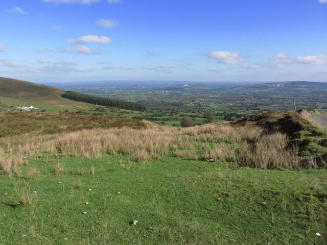 Gortalughany ViewpointViewpoint · 1252 yd
 Pigeon PotCave · 1493 yd
 Pollnagapple Natural ArchCliff · 1.3 mi
 Red Trail, Florence CourtWalking route · 1.7 mi
 Deer ParkForest · 1.7 mi
 Ice HouseHeritage attraction · 1.9 mi
 Florence Court Irish YewHeritage attraction · 1.9 mi