What is recorded here
Fire struck the valley floor repeatedly, leaving five black scars along the stream. The heat cracked stones and buried charcoal in soil deep enough to mark the ground still. People may have cooked, warmed themselves or cleared land before leaving the valley to walk elsewhere. The mound remains as a record of that loss and transformation.
In a flat valley at the base of a NE-facing slope of a NW-SE ridge, running down to a stream. There is a spring 16m to the ESE. One of five burnt spreads (KK042-054----; KK042-055----; KK042-056----; KK042-057----; KK042-058----) identified along this valley floor. A slightly raised mound (dims. 10m N-S; 11.4m E-W; H 0.7m) of burnt material consisting of fire-cracked stones and charcoal in a black soil matrix (min. D 0.25m).
Compiled by: Jean Farrelly
Date of upload: 10 August 2017
The monument record does not grant public access. Check the route and ask the landowner before entering private land.
- What survives
- Recorded monument
Places near here
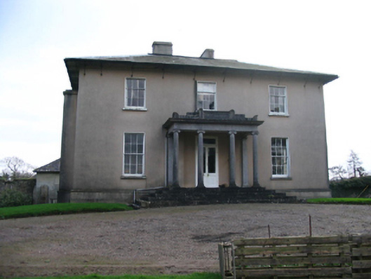 Silverspring Housecountry house · 439 yd
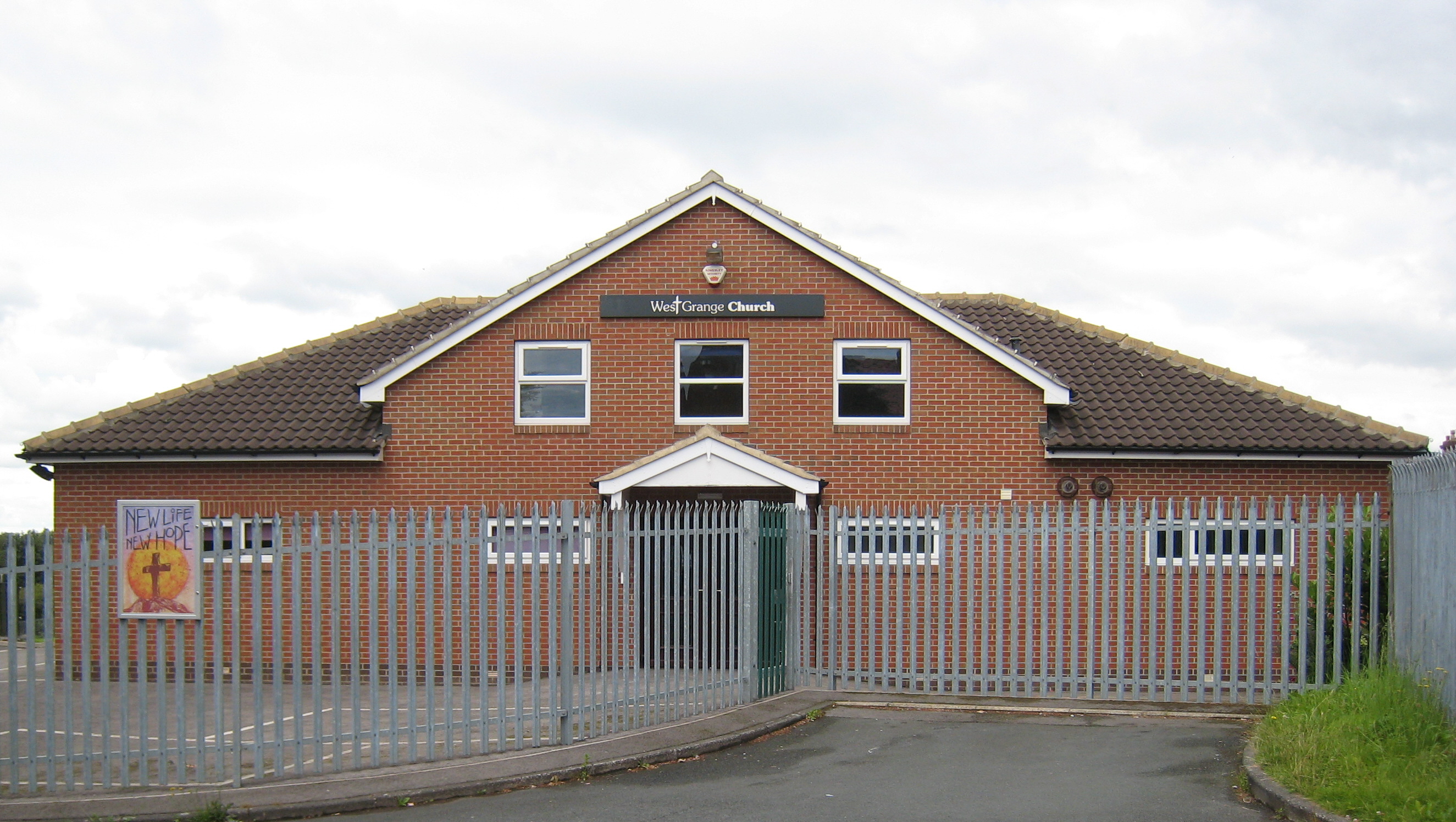 Church in Grange (iverk By.)Church · 601 yd
 CastleCastle, tower house · 1129 yd
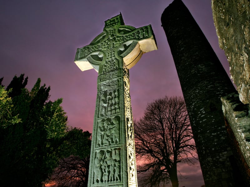 Sinnott's Cross MonumentMonument · 1704 yd
 Clonconey House (site of)Archaeological place · 1.1 mi
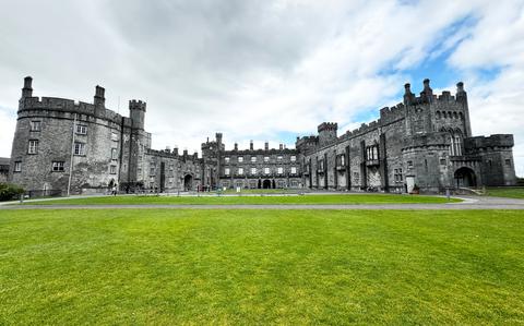 Ballynaboley WoodForest · 1.8 mi
 Gortrush WoodForest · 2.0 mi
 Rockets Castle (in ruins)Castle, tower house · 2.0 mi
 Portlaw Heritage CentreMuseum · 3.2 mi
 Tower HillMountain / peak · 3.8 mi
 Donnell's HillMountain / peak · 4.6 mi
 Waterford & Suir Valley RailwayHeritage attraction · 5.0 mi