What is recorded here
Rathgael stands in County Down as a ruined Rath from the early Christian period, its stones scattered across grass that has long forgotten the hands which built it. The name preserves a chamber or enclosure, though no wall remains to prove the shape. A person may have stood inside at dawn, listening for a voice or a decision, before the place became a dot on a map. What is missing is not emptiness; it is the life that left no witness behind.
The official Northern Ireland record identifies this as RATH: RATHGAEL. Recorded period: E.CHRIST.. The official map point was placed at the centre of the recorded archaeological site from the source map reference.
The monument record does not grant public access. Check the route and ask the landowner before entering private land.
- What survives
- Recorded monument
Places near here
 CROSS: CROSS HILL in Corporation (bangor)CROSS: CROSS HILL · 1.1 mi
 Helen's TowerMonument · 1.2 mi
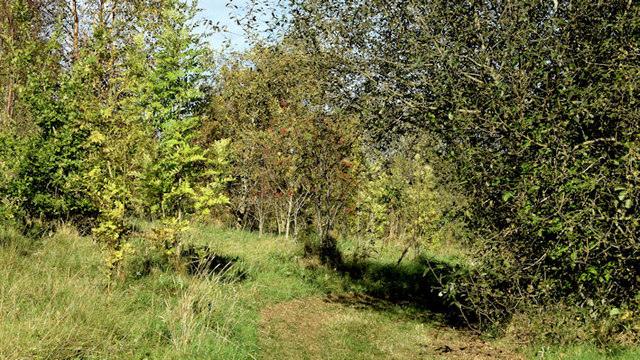 Kilcooley WoodWood · 1.2 mi
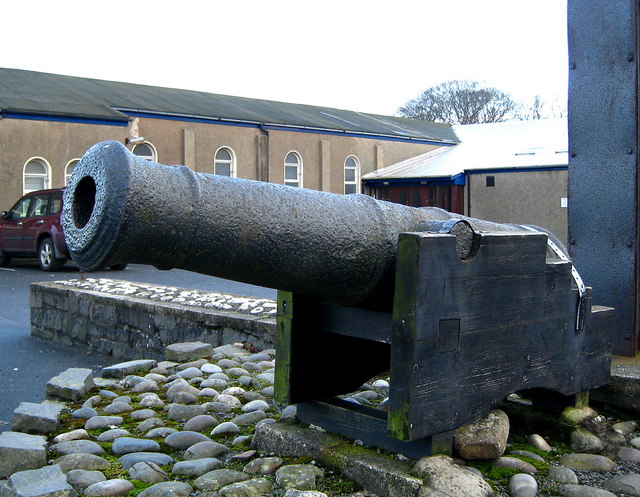 AUGUSTINIAN ABBEY : MALACHY'S WALL; BANGOR ABBEY in Corporation (bangor)AUGUSTINIAN ABBEY : MALACHY'S WALL; BANGOR ABBEY · 1.3 mi
 North Down MuseumMuseum · 1.4 mi
 Bangor CastleCastle · 1.4 mi
 Town HallTown Hall · 1.4 mi
 Somme Heritage CentreMuseum · 1.6 mi
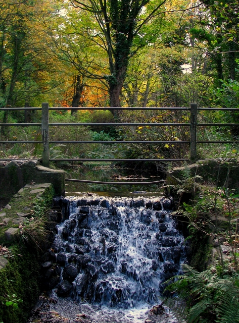 Stricklands GlenWood · 1.9 mi
 North Down Coastal PathWalking route · 2.0 mi
 Skippingstone BeachBeach / strand · 2.0 mi
 Brompton BayBeach / strand · 2.1 mi