What is recorded here
RATH is a rath in County Fermanagh, recorded among the region's ancient earthworks. Such places may have been shelters, boundaries or markers of local authority. They still suggest that people shaped the land long before modern names arrived.
The official Northern Ireland record identifies this as RATH - one of a pair with FER 154:023. Recorded period: E.CHRIST.. The official map point was placed at the centre of the recorded archaeological site from the source map reference.
The monument record does not grant public access. Check the route and ask the landowner before entering private land.
- What survives
- Recorded monument
Places near here
 Kesh BridgeBridge · 402 yd
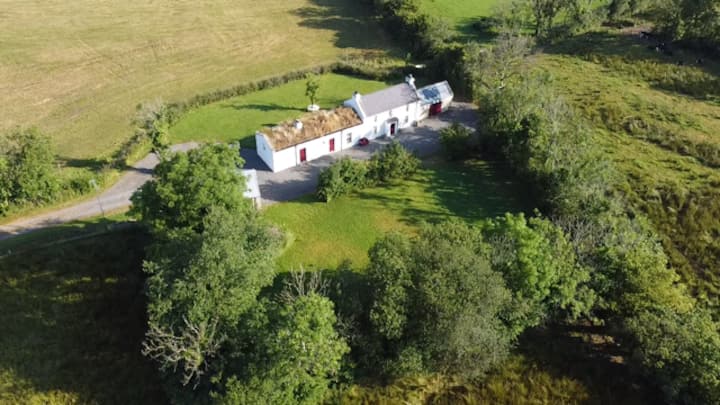 ENCLOSURE in RosscolbanENCLOSURE · 1438 yd
 Dooraa HillMountain / peak · 1.1 mi
 Crevenish CastleHeritage attraction · 1.1 mi
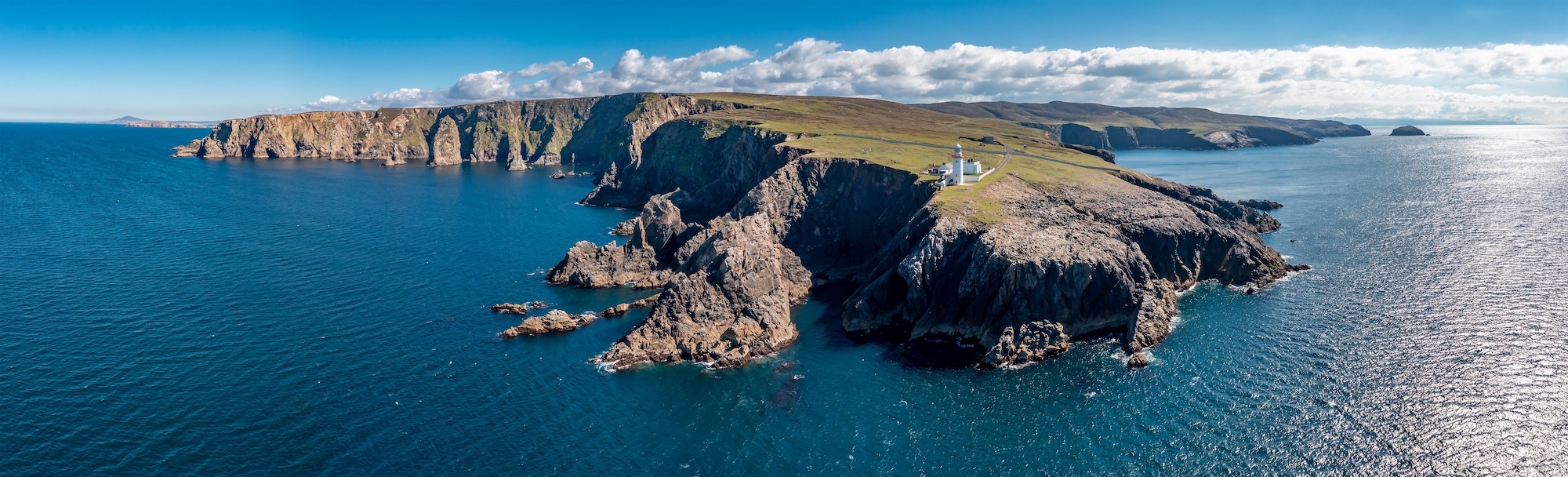 Macart IslandIslet · 1.4 mi
 Duck IslandIsland · 1.5 mi
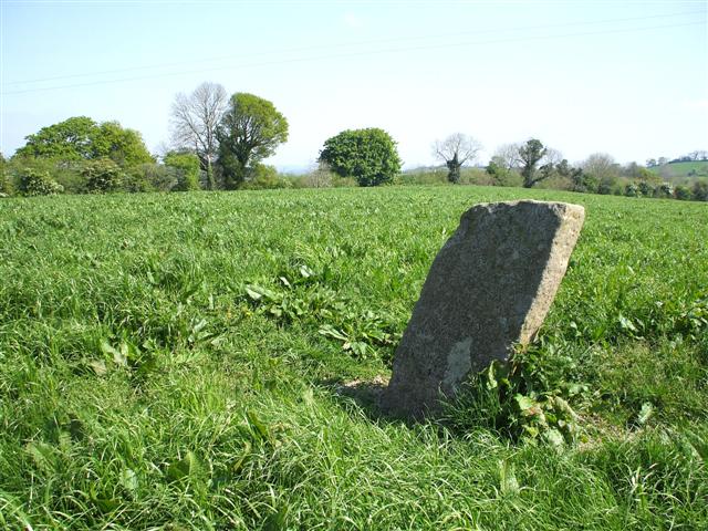 STANDING STONE in ClareviewSTANDING STONE · 1.8 mi
 Magheraculmoney ChurchChurch · 2.1 mi
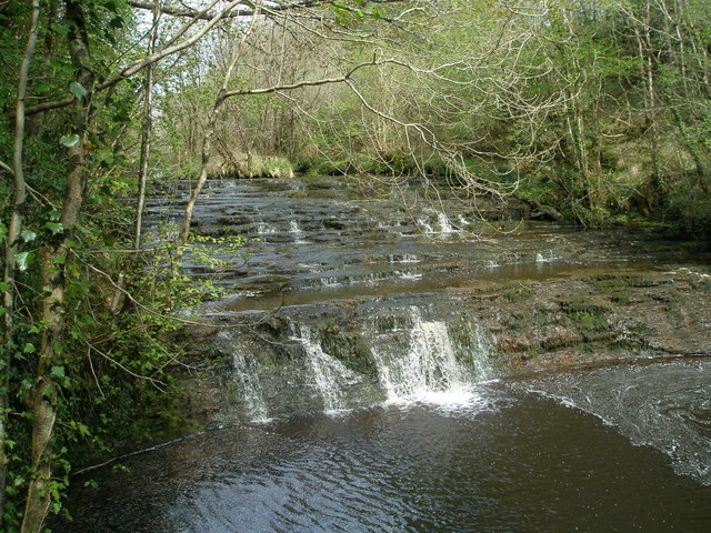 Drummoney WaterfallWaterfall · 2.2 mi
 Kesh ForestForest · 2.4 mi
 CASTLE & BAWN: OLD CASTLE ARCHDALE in BunaninverCASTLE & BAWN: OLD CASTLE ARCHDALE · 2.7 mi
 Old Castle ArchdaleCastle · 2.7 mi