What is recorded here
Mullanary Fort stands in County Armagh as a rath, marking the kind of fortified landscape where early Christian life and local power intersected. Its earthworks suggest a place of residence, defence or ceremony rather than a forgotten mound. The name Mullanary still belongs to the field, while the fort keeps the shape of the hand that built it.
The official Northern Ireland record identifies this as RATH: MULLANARY FORT. Recorded period: E.CHRIST.. The official map point was placed at the centre of the recorded archaeological site from the source map reference.
The monument record does not grant public access. Check the route and ask the landowner before entering private land.
- What survives
- Recorded monument
Places near here
 ENCLOSURE (unlocated) in KinnegoeENCLOSURE (unlocated) · 1598 yd
 C16TH FORTIFICATION & BRIDGE: BLACKWATER FORT in Blackwatertown OR LisbofinC16TH FORTIFICATION & BRIDGE: BLACKWATER FORT · 1729 yd
 Loughgall Presbyterian ChurchChurch · 2.0 mi
 Ulster BankBank · 2.2 mi
 Battle of BenburbMajor battlefield · 2.6 mi
 Loughgall Ambushterrorist attack · 2.9 mi
 CrannogIsland · 3.1 mi
 Cannon HillViewpoint · 3.9 mi
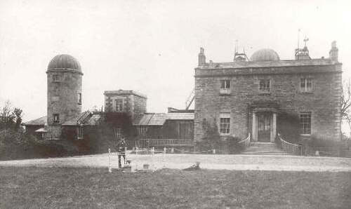 Armagh ObservatoryHistoric observatory · 4.4 mi
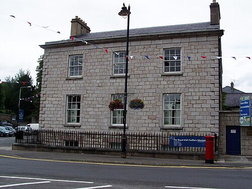 Royal Irish Fusiliers MuseumMuseum · 4.6 mi
 Abbey StreetVisitor information · 4.6 mi
 Boer War memorialMemorial · 4.7 mi