What is recorded here
Under Carnlea, a man-made passage cuts through ancient earth, joining a rath to the hidden world below. Built in the early Christian period, it served as a secret route for residents who needed to move unseen when danger gathered outside. The darkness inside would have swallowed torchlight and echoed every footstep, turning a simple journey into a test of nerve. Perhaps families used it during raids, or perhaps priests carried sacred objects through the black without witness. Either way, the passage remains a deliberate wound in the land, proof that people shaped Carnlea to hide as much as they revealed.
The official Northern Ireland record identifies this as RATH & Man-made underground passage. Recorded period: E.CHRIST.. The official map point was placed at the centre of the recorded archaeological site from the source map reference.
The monument record does not grant public access. Check the route and ask the landowner before entering private land.
- What survives
- Recorded monument
Places near here
 ENCLOSURE in CarnleaENCLOSURE · 581 yd
 ENCLOSURE in BallyreaghENCLOSURE · 1758 yd
 Dunminning CottageHouse · 1.7 mi
 CASTLE & HILLTOP ENCLOSURE: DOONBOUGHT FORT in DoonboughtCASTLE & HILLTOP ENCLOSURE: DOONBOUGHT FORT · 2.2 mi
 Clough CastleArchaeological place · 2.5 mi
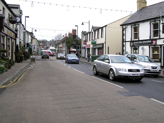 CHURCH: DONNELLY'S CELL (c.f. Ant 032:001) in CraigsCHURCH: DONNELLY'S CELL (c.f. Ant 032:001) · 3.3 mi
 2025 Northern Ireland riotsriot · 5.3 mi
 CarncormickMountain / peak · 6.0 mi
 Long MountainMountain / peak · 6.2 mi
 Top WoodWood · 7.2 mi
 Big Gortgole ForestForest · 7.5 mi
 FORD across R. BANN & SITE OF BATTLE, 1689 (see also ANT 031:052 for opposite side of the river) in GlenoneFORD across R. BANN & SITE OF BATTLE, 1689 (see also ANT 031:052 for opposite side of the river) · 7.9 mi