What is recorded here
Ballyaghagan holds a man-made passage beside a rath, marking human ingenuity across centuries. The official record preserves both features without inventing a date or a owner. That much is known. The shape and purpose still argue with each other, waiting for someone to stop repeating the file and start watching the land.
The official Northern Ireland record identifies this as RATH & Man-made underground passage. Recorded period: E.CHRIST.. The official map point was placed at the centre of the recorded archaeological site from the source map reference.
The monument record does not grant public access. Check the route and ask the landowner before entering private land.
- What survives
- Recorded monument
Places near here
 Limestone QuarryCliff · 706 yd
 ENCLOSURE in OldparkENCLOSURE · 770 yd
 RECTANGULAR ENCLOSURE: BALLYAGHAGAN FORT, LISTOLLARD in BallyaghaganRECTANGULAR ENCLOSURE: BALLYAGHAGAN FORT, LISTOLLARD · 776 yd
 Belfast Castle Estate TrailWalking route · 884 yd
 Belfast CastleHeritage attraction · 972 yd
 Cave Hill TrailWalking route · 1012 yd
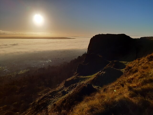 McArt's FortMountain / peak · 1286 yd
 CavehillMountain / peak · 1390 yd
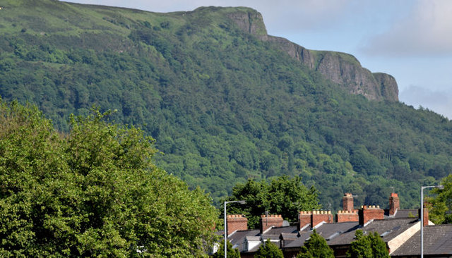 Cave HillCliff · 1563 yd
 Cave Hill CaveCave · 1627 yd
 Possible bawn site in OldparkPossible bawn site · 1.1 mi
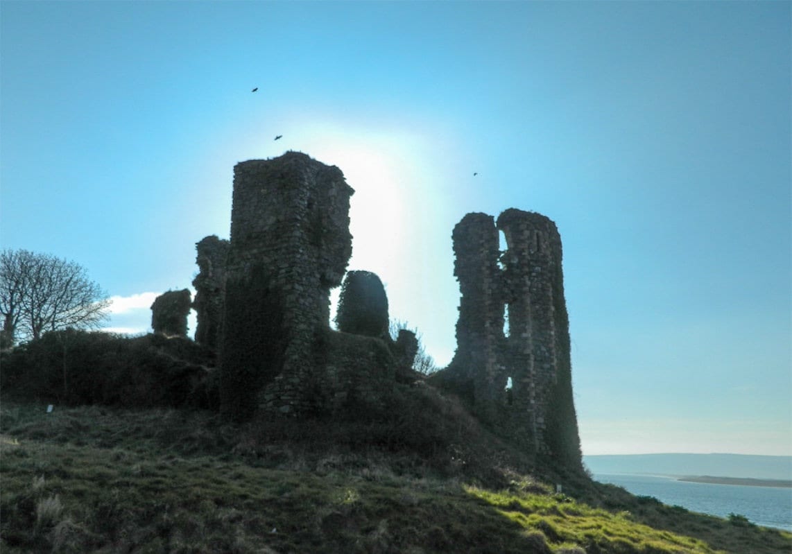 TOWER-HOUSE: GREENCASTLE, GREENCASTLE, CLOUGHCASTELLA, CLOUGHCASTELLA, CLOCHMESTALE in GreencastleTOWER-HOUSE: GREENCASTLE, GREENCASTLE, CLOUGHCASTELLA, CLOUGHCASTELLA, CLOCHMESTALE · 1.2 mi