What is recorded here
Brockaghboy in County Derry holds a rath named Lismore, marked as a scheduled archaeological site from the early Christian period. The earthworks still outline a place where people lived, worked and perhaps feared the dark. Lismore sounds like a generous name for a small strongholds, as if size mattered less than identity.
The official Northern Ireland record identifies this as RATH: LISMORE. Recorded period: E.CHRIST.. Recorded protection: Scheduled. The official map point was placed at the centre of the recorded archaeological site from the source map reference.
The monument record does not grant public access. Check the route and ask the landowner before entering private land.
- What survives
- Recorded monument
Places near here
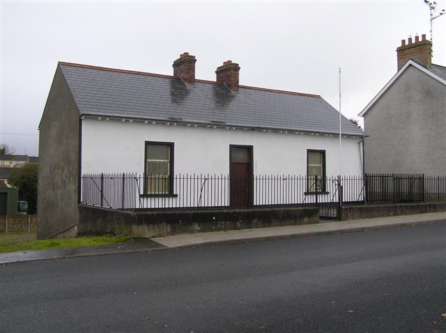 ENCLOSURE: LISBEG in BrockaghboyENCLOSURE: LISBEG · 290 yd
 ENCLOSURE in BrockaghboyENCLOSURE · 1002 yd
 Gortnamoyagh ForestForest · 2.7 mi
 Garvagh ForestForest · 2.9 mi
 Legananam PotCliff · 3.1 mi
 Ulster War Memorial Clock TowerMemorial · 3.2 mi
 Killyvally BridgeBridge · 3.3 mi
 Ulster BankBank · 3.4 mi
 Carn HillMountain / peak · 4.2 mi
 Altkeeran WaterfallWaterfall · 4.7 mi
 Donald's HillMountain / peak · 4.9 mi
 DUNGIVEN CASTLE (PART OF WALLS) in DungivenDUNGIVEN CASTLE (PART OF WALLS) · 7.1 mi