What is recorded here
The official Northern Ireland record identifies this as RATH: LISBOY. Recorded period: E.CHRIST.. The official map point was placed at the centre of the recorded archaeological site from the source map reference.
The monument record does not grant public access. Check the route and ask the landowner before entering private land.
- What survives
- Recorded monument
Places near here
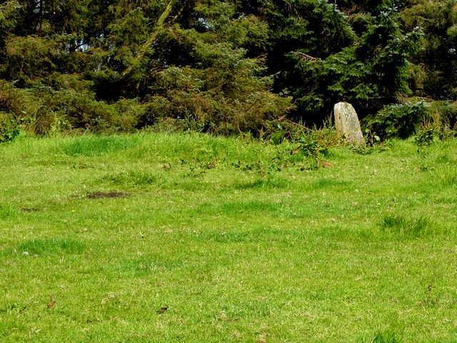 STANDING STONE in LisboySTANDING STONE · 563 yd
 ENCLOSURE in AghnagloghENCLOSURE · 617 yd
 C17th FORTIFIED HOUSE & BAWN: AUGHENTAINE or AGHINTAIN CASTLE in AghintainC17th FORTIFIED HOUSE & BAWN: AUGHENTAINE or AGHINTAIN CASTLE · 1658 yd
 Aughintain CastleRuins · 1676 yd
 Clogher Presbyterian ChurchChurch · 1.2 mi
 PRE-NORMAN CATHEDRAL; GRAVEYARD; AUGUSTINIAN FRIARY; POST-MED. and MODERN CATHEDRAL; GRAVEYARD; 3 CROSSES; 2 BULLAUNS: CLOGHER CATHEDRAL or CLOCHAR or CLOCHAR-MAC-nDAIMENI in Clogher DemesnePRE-NORMAN CATHEDRAL; GRAVEYARD; AUGUSTINIAN FRIARY; POST-MED. and MODERN CATHEDRAL; GRAVEYARD; 3 CROSSES; 2 BULLAUNS: CLOGHER CATHEDRAL or CLOCHAR or CLOCHAR-MAC-nDAIMENI · 1.5 mi
 Protestant HallHall · 1.6 mi
 Knockmany ForestForest · 2.9 mi
 KnockmanyArchaeological place · 3.2 mi
 Carleton's CottageHeritage attraction · 3.7 mi
 Beltany HillMountain / peak · 4.2 mi
 Annagh DemesneWood · 4.5 mi