What is recorded here
RATH stands in Tullyoran, County Fermanagh, as a marked archaeological site rather than a named home or hall. The official record offers no date, owner, event or visible shape, so the place resists a finished story. It may have been a boundary marker, a lost dwelling or a ceremonial point, but that remains wonder, not fact.
The official Northern Ireland record identifies this as RATH. Recorded period: E.CHRIST.. The official map point was placed at the centre of the recorded archaeological site from the source map reference.
The monument record does not grant public access. Check the route and ask the landowner before entering private land.
- What survives
- Recorded monument
Places near here
 RECTANGULAR ENCLOSURE in RathfureRECTANGULAR ENCLOSURE · 905 yd
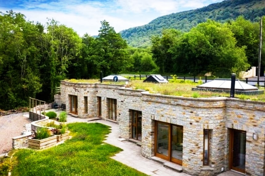 ENCLOSURE in DresternanENCLOSURE · 993 yd
 Trasna IslandIsland · 1.2 mi
 Lady Craigavon BridgeBridge · 1.6 mi
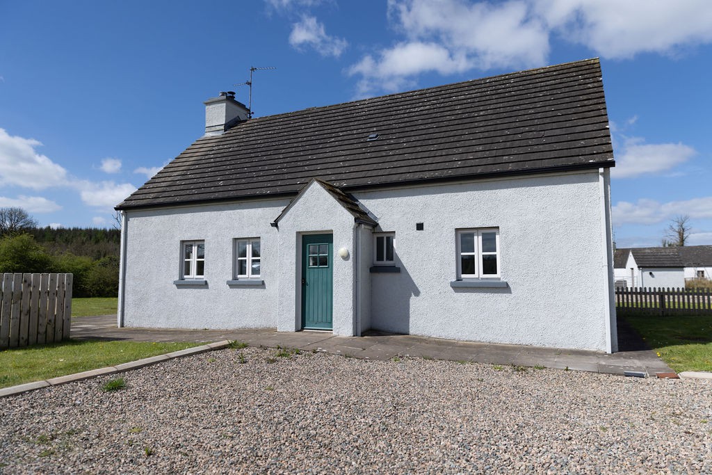 Gole WoodWood · 1.6 mi
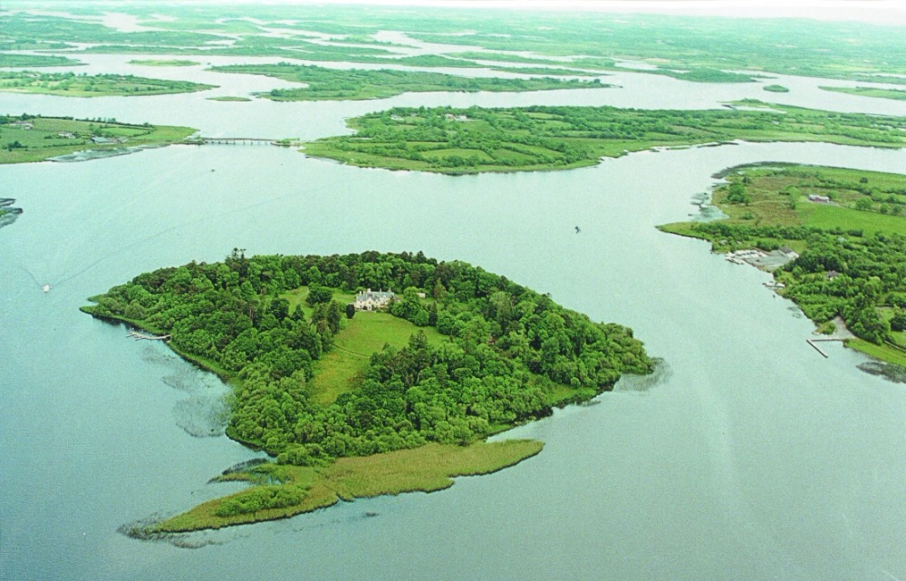 Inish RathIsland · 1.7 mi
 Reilly WoodWood · 1.7 mi
 St. Ninnidh's Rc ChurchChurch · 2.4 mi
 FormilMountain / peak · 2.5 mi
 Inisherk Trail, CromWalking route · 2.8 mi
 Turf HouseHeritage attraction · 3.0 mi
 Giant's GraveArchaeological place · 3.1 mi