What is recorded here
RATH in Tonnaboy, County Fermanagh, is an earthwork of unknown age, not a invented castle or a hidden cache. It still belongs to the land as a boundary marker, a gathering place or a abandoned home. People may have lived beside it, feared it or simply passed it without remembering why it stood out.
The official Northern Ireland record identifies this as RATH. Recorded period: E.CHRIST.. The official map point was placed at the centre of the recorded archaeological site from the source map reference.
The monument record does not grant public access. Check the route and ask the landowner before entering private land.
- What survives
- Recorded monument
Places near here
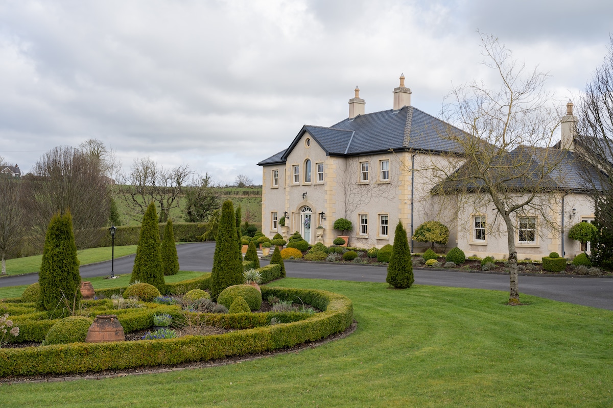 PLANTATION HOUSE & BAWN & LATER HOUSE: MANOR WATERHOUSE in Manor Water HousePLANTATION HOUSE & BAWN & LATER HOUSE: MANOR WATERHOUSE · 1.0 mi
 ENCLOSURE in SheebegENCLOSURE · 1.2 mi
 ENCLOSURE? in Aghamore SouthENCLOSURE? · 1.3 mi
 Ulster BankBank · 1.6 mi
 Holy Trinity ChurchChurch · 1.6 mi
 Castle BalfourCastle · 1.6 mi
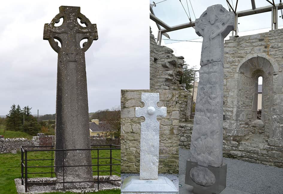 Celtic High CrossHeritage attraction · 1.7 mi
 Coolnasillagh ForestForest · 2.8 mi
 Tattycam ForestForest · 3.1 mi
 Carrowhony Pet FarmHeritage attraction · 3.1 mi
 Geddagh IslandIsland · 3.4 mi
 InishoreIsland · 3.5 mi