What is recorded here
Mnemo knew the keyboard before skin. She typed Anarchiv, waited for the green prompt, and entered the address of Tonaghmore. The camera returned stone, grass, and rain. The measurement tool drew a circle around thirty metres of disturbed earth. Eochu appeared beside her in the chamber. He did not ask whether she was certain. He asked whether the camera had caught a person watching them. Mnemo showed him the picture twice. No person appeared. She saved the file, watched the disk light blink, and told Eochu that Tonaghmore had entered the chain.
The official Northern Ireland record identifies this as RATH. Recorded period: E.CHRIST.. The official map point was placed at the centre of the recorded archaeological site from the source map reference.
The monument record does not grant public access. Check the route and ask the landowner before entering private land.
- What survives
- Recorded monument
Places near here
 ENCLOSURE in AnnaghmakeonanENCLOSURE · 1440 yd
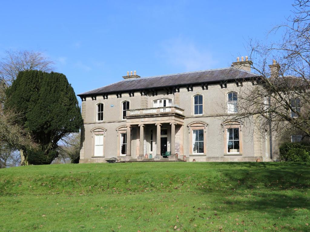 ENCLOSURE in BallymoneyENCLOSURE · 1451 yd
 Lenaderg Post OfficePost Office · 1.5 mi
 Magherally Presbyterian ChurchChurch · 2.1 mi
 CHURCH (Listed) & GRAVEYARD in MagherallyCHURCH (Listed) & GRAVEYARD · 2.3 mi
 BAWN?: GILLHALL CASTLE in GreenanBAWN?: GILLHALL CASTLE · 3.1 mi
 Game of Thrones Studio TourHeritage attraction · 3.4 mi
 FE McWilliam Gallery and StudioGallery · 3.9 mi
 Waringstown Red WoodsForest · 4.0 mi
 Gilford CastleCastle · 4.2 mi
 War MemorialMemorial · 4.7 mi
 Newry Canal WayWalking route · 7.7 mi