What is recorded here
RATH is an ancient enclosure in County Fermanagh, Ireland, preserving a boundary drawn before written memory. The earth may have held herds, children or frightened adults when the wood pressed close and the sky changed colour. A rath is not a monument to pride but a marker of continuity, proving that people lived there, breathed there and left the land shaped by their hands.
The official Northern Ireland record identifies this as RATH. Recorded period: E.CHRIST.. The official map point was placed at the centre of the recorded archaeological site from the source map reference.
The monument record does not grant public access. Check the route and ask the landowner before entering private land.
- What survives
- Recorded monument
Places near here
 European ashEuropean ash · 470 yd
 Scots PineScots Pine · 1270 yd
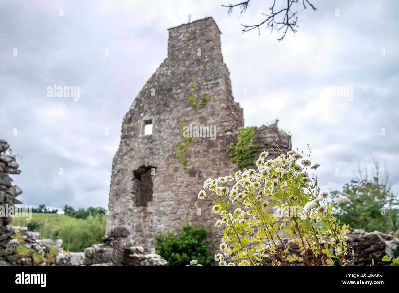 ENCLOSURE in TattynuckleENCLOSURE · 1685 yd
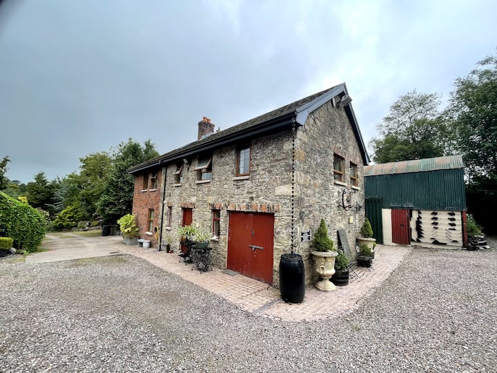 ENCLOSURE? in ClaraghyENCLOSURE? · 1741 yd
 Methodist ChurchChurch · 2.1 mi
 "Fivemiletown Deli" G8 Virtual ShopHeritage attraction · 2.2 mi
 Cooneen Parish ChurchChurch · 2.4 mi
 The Station House, BrookeboroughHeritage attraction · 3.5 mi
 IRA MemorialMemorial · 4.8 mi
 EschleaghMountain / peak · 5.7 mi
 Slieve BeaghMountain / peak · 6.1 mi
 Aughintain CastleRuins · 6.2 mi