What is recorded here
Slievenagh holds a rath, an ancient fort standing in County Antrim since before Christian times. Stone and earth may have shaped a defensible home where people watched the horizon, lived through storms, and left behind a boundary still visible on the land. The name preserves that much of their presence even when the details have thinned into silence.
The official Northern Ireland record identifies this as RATH. Recorded period: E.CHRIST.. The official map point was placed at the centre of the recorded archaeological site from the source map reference.
The monument record does not grant public access. Check the route and ask the landowner before entering private land.
- What survives
- Recorded monument
Places near here
 Top WoodWood · 426 yd
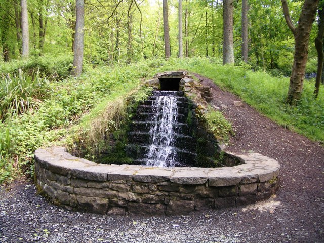 Portglenone ForestForest · 1225 yd
 ENCLOSURE in GarvaghyENCLOSURE · 1239 yd
 ENCLOSURE (unlocated) in AughnahoyENCLOSURE (unlocated) · 1355 yd
 TullyMountain / peak · 1526 yd
 Masonic HallHall · 1619 yd
 Parish ChurchChurch · 1.1 mi
 CASTLE (site of): PORTGLENONE CASTLE in GarvaghyCASTLE (site of): PORTGLENONE CASTLE · 1.3 mi
 FORD across R. BANN & SITE OF BATTLE, 1689 (see also ANT 031:052 for opposite side of the river) in GlenoneFORD across R. BANN & SITE OF BATTLE, 1689 (see also ANT 031:052 for opposite side of the river) · 1.7 mi
 Scroggy Mass RockNamed rock · 3.6 mi
 Seamus HeaneyMemorial · 4.3 mi
 PLANTATION CASTLE & BAWN on site of RATH: BELLAGHY BAWN in Old Town Deer ParkPLANTATION CASTLE & BAWN on site of RATH: BELLAGHY BAWN · 4.8 mi