What is recorded here
Rossyvullan still holds the buried line of a Rath, though no wall stands to mark it. The ground may have swallowed the fortress, yet it did not erase the shape of the people who turned that land into a boundary. To walk beside it is to meet the absent room in which human life still moves.
The official Northern Ireland record identifies this as RATH. Recorded period: E.CHRIST.. The official map point was placed at the centre of the recorded archaeological site from the source map reference.
The monument record does not grant public access. Check the route and ask the landowner before entering private land.
- What survives
- Recorded monument
Places near here
 HOLY WELL: TOBERPATRICK in CarrowmacmeaHOLY WELL: TOBERPATRICK · 453 yd
 Castle CooleCountry House · 534 yd
 The Ice HouseHeritage attraction · 566 yd
 HOLY WELL: TOBERNASOOL in CarrowmacmeaHOLY WELL: TOBERNASOOL · 607 yd
 Coneyburrow WoodWood · 740 yd
 Limekiln Bog WoodWood · 1017 yd
 PENAL CHURCH in BallylucasPENAL CHURCH · 1.1 mi
 Masonic HallHall · 1.4 mi
 War MemorialMemorial · 1.7 mi
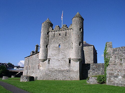 Siege of Enniskillensiege · 1.7 mi
 Remembrance Day bombingbomb attack · 1.7 mi
 C18TH CHURCH with C17th TOWER, & GRAVEYARD: ENNISKILLEN CHURCH in EnniskillenC18TH CHURCH with C17th TOWER, & GRAVEYARD: ENNISKILLEN CHURCH · 2.0 mi