What is recorded here
Mullyneeny still holds the Rath, a marked archaeological site in County Fermanagh. The name suggests a fortified place, yet no surviving wall or chamber is recorded. A person may have stood there in rain, watched the valley, and left behind nothing but the shape of the ground.
The official Northern Ireland record identifies this as RATH. Recorded period: E.CHRIST.. The official map point was placed at the centre of the recorded archaeological site from the source map reference.
The monument record does not grant public access. Check the route and ask the landowner before entering private land.
- What survives
- Recorded monument
Places near here
 RathArchaeological place · 16 yd
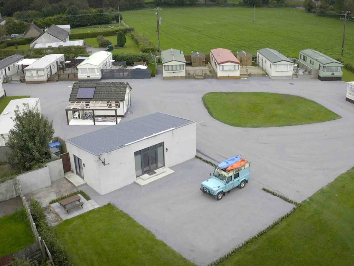 ENCLOSURE in StoneparkENCLOSURE · 745 yd
 St. Ninnidh's Rc ChurchChurch · 755 yd
 Giant's GraveArchaeological place · 1534 yd
 Molly MountainMountain / peak · 1.7 mi
 InishlirrooIsland · 2.0 mi
 Doocharn IslandIsland · 2.3 mi
 MEDIEVAL PARISH CHURCH; GRAVEYARD; HOLY WELL: KINAWLEY CHURCH or CELL NAILE or ST. NAILE'S WELL in LismonaghanMEDIEVAL PARISH CHURCH; GRAVEYARD; HOLY WELL: KINAWLEY CHURCH or CELL NAILE or ST. NAILE'S WELL · 3.1 mi
 PENITENTIAL STATION STONE in KinawleyPENITENTIAL STATION STONE · 3.1 mi
 CaldraghMountain / peak · 3.4 mi
 HawthornHawthorn · 3.6 mi
 RowanRowan · 3.7 mi