What is recorded here
Mullinsallagh in County Antrim still carries the name of the rath that anchored the area before modern boundaries existed. The chamber remained active through the Christian era, when people still lived beside or within its stones. Its exact shape has faded from memory, but the name preserves the fact that a defended place once stood there and mattered enough to be remembered.
The official Northern Ireland record identifies this as RATH. Recorded period: E.CHRIST.. The official map point was placed at the centre of the recorded archaeological site from the source map reference.
The monument record does not grant public access. Check the route and ask the landowner before entering private land.
- What survives
- Recorded monument
Places near here
 ENCLOSURE in BallynafieENCLOSURE · 216 yd
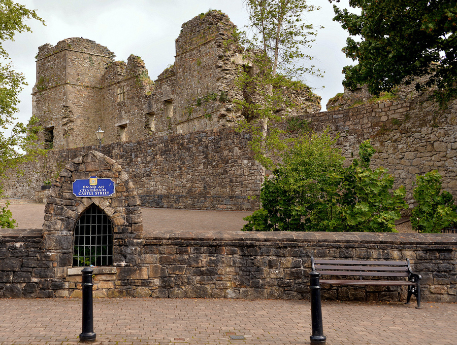 ENCLOSURE in MullinsallaghENCLOSURE · 535 yd
 TullyMountain / peak · 717 yd
 Top WoodWood · 1.5 mi
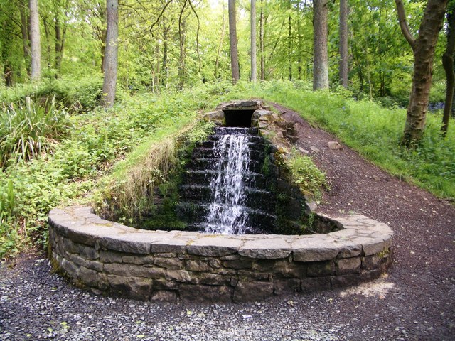 Portglenone ForestForest · 2.0 mi
 Masonic HallHall · 2.1 mi
 Trinity Presbyterian ChurchChurch · 2.3 mi
 CASTLE (site of): PORTGLENONE CASTLE in GarvaghyCASTLE (site of): PORTGLENONE CASTLE · 2.5 mi
 FORD across R. BANN & SITE OF BATTLE, 1689 (see also ANT 031:052 for opposite side of the river) in GlenoneFORD across R. BANN & SITE OF BATTLE, 1689 (see also ANT 031:052 for opposite side of the river) · 2.9 mi
 MOTTE AND BAILEY: McQUILLAN'S CASTLE in GalgormMOTTE AND BAILEY: McQUILLAN'S CASTLE · 3.8 mi
 Scroggy Mass RockNamed rock · 4.8 mi
 Seamus HeaneyMemorial · 5.1 mi