What is recorded here
Mullaghglass in County Armagh holds a rath marked in the official record as an early Christian site. The earthworks still trace the shape of hands that dug them, perhaps for prayer, perhaps for shelter when darkness came. A rath is not a fantasy; it is a boundary drawn by people who believed the land could be shaped.
The official Northern Ireland record identifies this as RATH. Recorded period: E.CHRIST.. Recorded protection: Scheduled. The official map point was placed at the centre of the recorded archaeological site from the source map reference.
The monument record does not grant public access. Check the route and ask the landowner before entering private land.
- What survives
- Recorded monument
Places near here
 Bessbrook MillArmy Barracks Structures · 613 yd
 War MemorialMonument · 826 yd
 Derrymore HouseGallery/ Museum · 833 yd
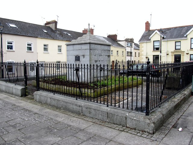 BessbrookVisitor information · 837 yd
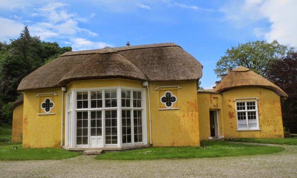 ENCLOSURE in Derry MoreENCLOSURE · 1604 yd
 ENCLOSURE in CarrickcroppanENCLOSURE · 1.8 mi
 Camlough MountainMountain / peak · 2.1 mi
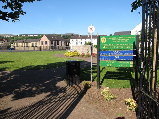 Edward Street Car ParkVisitor information · 2.1 mi
 Newry CenotaphMemorial · 2.3 mi
 1971 Newry killingsmassacre · 2.3 mi
 Bagenal's CastleCastle · 2.5 mi
 Newry and Mourne MuseumMuseum · 2.5 mi