What is recorded here
The official Northern Ireland record identifies this as RATH. Recorded period: E.CHRIST.. Recorded protection: Scheduled. The official map point was placed at the centre of the recorded archaeological site from the source map reference.
The monument record does not grant public access. Check the route and ask the landowner before entering private land.
- What survives
- Recorded monument
Places near here
 Corry PointHeadland · 566 yd
 Crannog IslandWood · 791 yd
 InisheeIsland · 848 yd
 Marlbank ViewpointViewpoint · 1245 yd
 Hanging Rock and Rossaa Forest National Nature ReserveNature reserve · 1552 yd
 The Market Housemarket house · 1558 yd
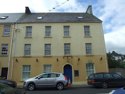 Olive Grovehouse · 1600 yd
 Enclosure in Ture (tullyhaw By.)Enclosure · 1618 yd
 CullentraghMountain / peak · 1720 yd
 Bullaun StoneArchaeological place · 1735 yd
 ArdreaghMountain / peak · 1.1 mi
 Hanging RockCliff · 1.1 mi