What is recorded here
Moyagall holds a rath, an earthwork built by human hands during the early Christian period. The official record preserves only that much: a defensive or domestic ring of soil in County Derry, visible enough to mark on a map. Behind its bank may have stood a hall, a kitchen, a cradle, a fire lit through winter. The stones are gone or buried, but the shape remains, waiting for someone to walk its ridge and imagine the lives that turned it into a home.
The official Northern Ireland record identifies this as RATH. Recorded period: E.CHRIST.. The official map point was placed at the centre of the recorded archaeological site from the source map reference.
The monument record does not grant public access. Check the route and ask the landowner before entering private land.
- What survives
- Recorded monument
Places near here
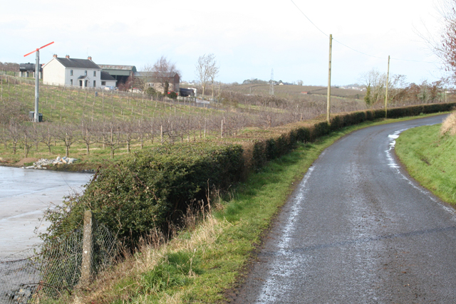 ENCLOSURE in DrumardENCLOSURE · 427 yd
 ENCLOSURE in GulladuffENCLOSURE · 849 yd
 St. Lurach's ChurchChurch · 3.0 mi
 Ulster BankBank · 3.1 mi
 Craigadick Picnic AreaPicnic place · 3.5 mi
 Bellaghy BawnMuseum · 3.6 mi
 PLANTATION CASTLE & BAWN on site of RATH: BELLAGHY BAWN in Old Town Deer ParkPLANTATION CASTLE & BAWN on site of RATH: BELLAGHY BAWN · 3.6 mi
 Scroggy Mass RockNamed rock · 3.9 mi
 War MemorialMonument · 4.1 mi
 Portglenone ForestForest · 4.6 mi
 The Strand at Lough BegVisitor information · 4.6 mi
 Drumnaph ForestWood · 4.7 mi