What is recorded here
Marlbank still carries RATH, an earthwork from before Christ when people shaped land into living form. The official point marks its centre, not a building or a road, but a boundary the body could feel. Perhaps children ran inside it or adults argued about what it protected. That much is lost, yet the circle remains clear enough to imagine life moving through it.
The official Northern Ireland record identifies this as RATH. Recorded period: E.CHRIST.. The official map point was placed at the centre of the recorded archaeological site from the source map reference.
The monument record does not grant public access. Check the route and ask the landowner before entering private land.
- What survives
- Recorded monument
Places near here
 Marlbank ViewpointViewpoint · 340 yd
 Crannog IslandWood · 946 yd
 STONE ENCLOSURE in ClyhannaghSTONE ENCLOSURE · 1035 yd
 Hanging Rock and Rossaa Forest National Nature ReserveNature reserve · 1051 yd
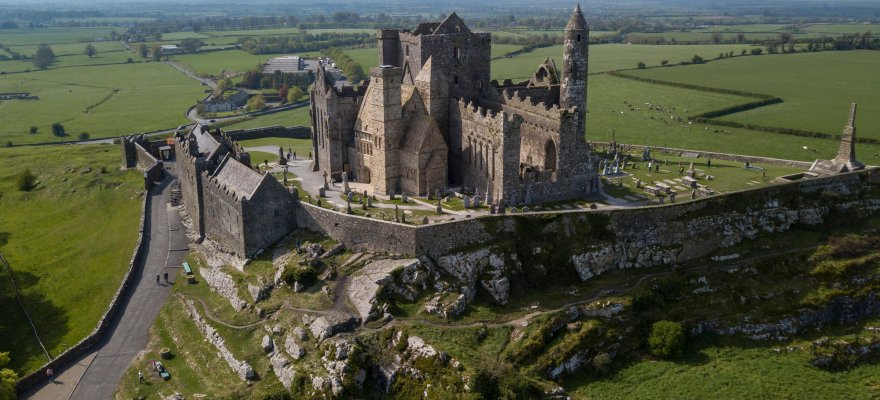 CashelArchaeological place · 1070 yd
 CullentraghMountain / peak · 1273 yd
 DerreenMountain / peak · 1309 yd
 Hanging RockCliff · 1412 yd
 SETTLEMENT: STONE ENCLOSURES [FIELD SYSTEM] AND HOUSE PLATFORMS in ClyhannaghSETTLEMENT: STONE ENCLOSURES [FIELD SYSTEM] AND HOUSE PLATFORMS · 1463 yd
 InisheeIsland · 1601 yd
 Corry PointHeadland · 1629 yd
 Swallow HoleCave · 1.0 mi