What is recorded here
RATH in Magheraknock, County Down, still stands as a scheduled ancient earthwork, though no visible monument marks the centre where the official point falls. The absence is not empty; it is a invitation to imagine the hands that raised it, the families that lived beside it, and the reasons it was worth remembering. What is missing from the description may be the most important part: the life that turned soil into a place.
The official Northern Ireland record identifies this as RATH. Recorded period: E.CHRIST.. Recorded protection: Scheduled. The official map point was placed at the centre of the recorded archaeological site from the source map reference.
The monument record does not grant public access. Check the route and ask the landowner before entering private land.
- What survives
- Recorded monument
Places near here
 ENCLOSURE in Ballykeel LougherneENCLOSURE · 1.3 mi
 ENCLOSURE in BallycreenENCLOSURE · 1.3 mi
 Masonic HallHall · 1.5 mi
 Battle of Ballynahinchbattle · 2.5 mi
_-_geograph.org.uk_-_2856159.jpg?width=1280) Church of the AscensionChurch · 2.7 mi
Church of the AscensionChurch · 2.7 mi Lisburn Street North Car ParkVisitor information · 2.9 mi
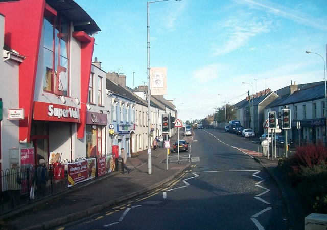 Lisburn Street South Car ParkVisitor information · 3.0 mi
 Windmill HillMountain / peak · 3.2 mi
 Windmill Hill WoodWood · 3.3 mi
 Battle of Saintfield (1798)Battlefield · 4.2 mi
 Harry Ferguson Memorial GardenMonument · 4.7 mi
 PLANTATION HOUSE & BAWN: THE COURT in HillhallPLANTATION HOUSE & BAWN: THE COURT · 5.4 mi