What is recorded here
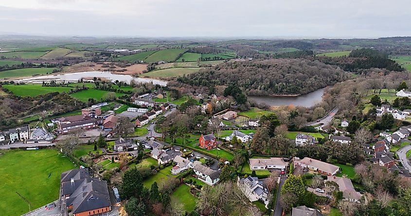
Lisnaree in County Down is named for a rath, an ancient enclosed place whose boundary still shapes the local identity. The name preserves a lost human arrangement where people gathered, worked or resisted beneath an open sky. Much of that life has faded, but the word rath remains sharp enough to point back toward the missing structure.
The official Northern Ireland record identifies this as RATH. Recorded period: E.CHRIST.. The official map point was placed at the centre of the recorded archaeological site from the source map reference.
The monument record does not grant public access. Check the route and ask the landowner before entering private land.
- What survives
- Recorded monument
Places near here
 OuleyMountain / peak · 1.3 mi
 Ryans Presbyterian ChurchChurch · 1.6 mi
 ENCLOSURE? in CarnacallyENCLOSURE? · 1.8 mi
 ENCLOSURE in BallykeelENCLOSURE · 2.3 mi
 Former National SchoolHall · 2.4 mi
 Knockiveagh Picnic SitePicnic place · 3.3 mi
 KnockiveaghMountain / peak · 3.6 mi
 TOWER-HOUSE: RATHFRILAND CASTLE in RossconorTOWER-HOUSE: RATHFRILAND CASTLE · 3.8 mi
 The Brontë CentreVisitor information · 4.6 mi
 Canal WoodWood · 4.7 mi
 POST-MEDIEVAL CHURCH & GRAVEYARD: ST. PATRICK'S in NewryPOST-MEDIEVAL CHURCH & GRAVEYARD: ST. PATRICK'S · 5.4 mi
 Newry CenotaphMemorial · 5.5 mi