What is recorded here
Legananny in County Down holds a rath, an earthwork so old it predates Christian record. Its boundary remains visible on the ground, marking a settlement or stronghold from a forgotten age. The soil remembers hands that built it and feet that walked it, even though human memory has slipped away.
The official Northern Ireland record identifies this as RATH. Recorded period: E.CHRIST.. The official map point was placed at the centre of the recorded archaeological site from the source map reference.
The monument record does not grant public access. Check the route and ask the landowner before entering private land.
- What survives
- Recorded monument
Places near here
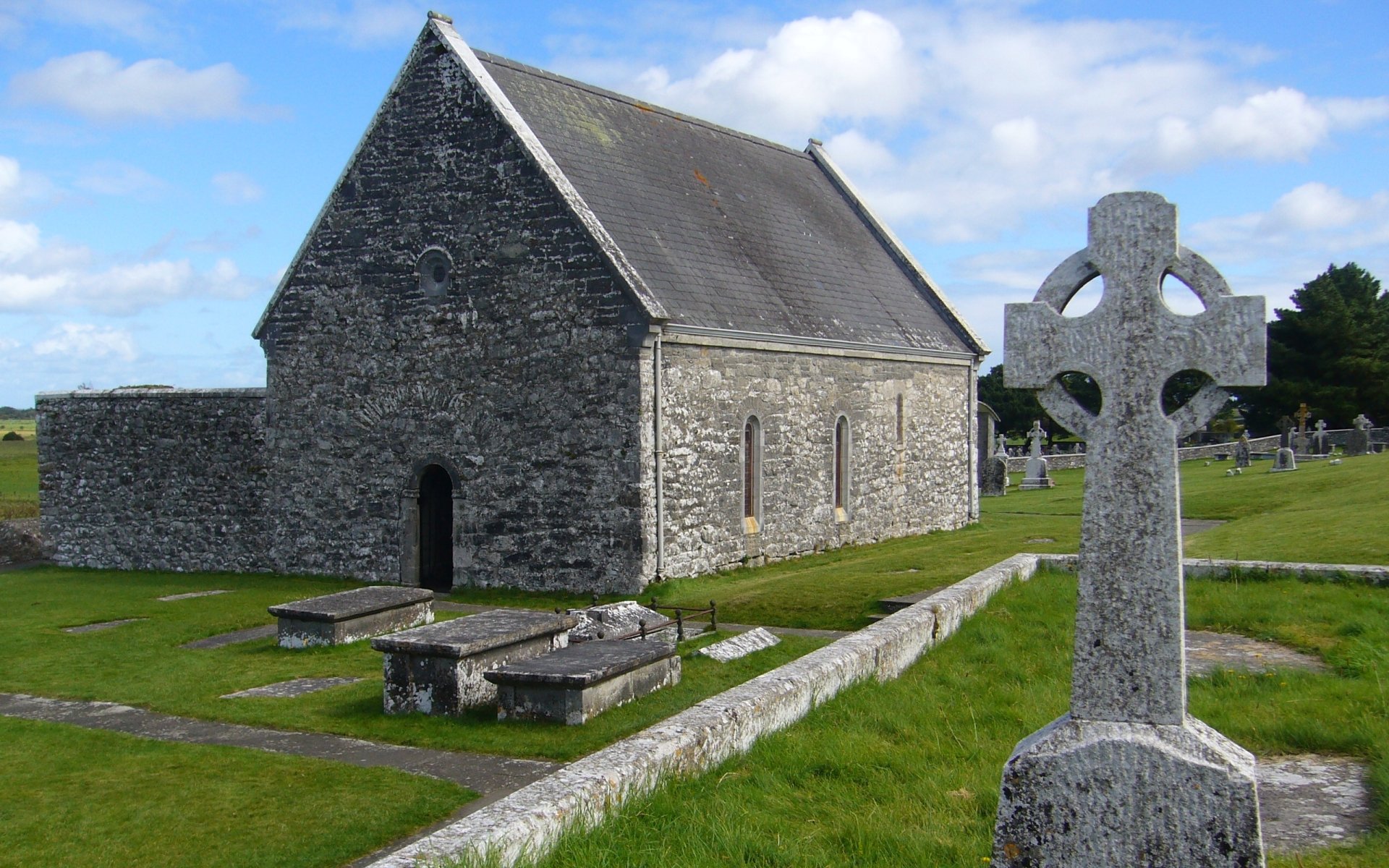 MONASTERY & CROSS CARVED SLAB in DrumsallaghMONASTERY & CROSS CARVED SLAB · 348 yd
 Loughbrickland CrannógArchaeological place · 1.3 mi
 Orange HallHall · 2.0 mi
 CASTLE in LoughadianCASTLE · 2.1 mi
,_Scarva_-_geograph.org.uk_-_614092.jpg?width=1280) St Matthew's Parish ChurchChurch · 2.2 mi
St Matthew's Parish ChurchChurch · 2.2 mi CASTLE in ScarvaCASTLE · 2.2 mi
 FE McWilliam Gallery and StudioGallery · 2.2 mi
 Scarva MemorialMemorial · 2.2 mi
 Newry Canal WayWalking route · 2.3 mi
 Downshire BridgeMemorial · 3.5 mi
 Canal WoodWood · 4.2 mi
 Glen View TrailWalking route · 4.9 mi