What is recorded here
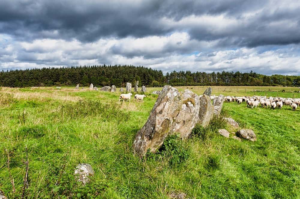
RATH in Gorteen, County Fermanagh: a hidden fort in the green North, old enough to predate Christian time. Stones may still stand beneath grass, marking a boundary or a home for people whose names vanished before written history began.
The official Northern Ireland record identifies this as RATH. Recorded period: E.CHRIST.. The official map point was placed at the centre of the recorded archaeological site from the source map reference.
The monument record does not grant public access. Check the route and ask the landowner before entering private land.
- What survives
- Recorded monument
Places near here
 ENCLOSURE in GorteenENCLOSURE · 318 yd
 Standing StoneArchaeological place · 418 yd
 PENITENTIAL STATION STONES in CavancarraghPENITENTIAL STATION STONES · 583 yd
 Teampull RuisínHeritage attraction · 672 yd
 Saint Patrick's Holy WellSpring · 676 yd
 The Market Housemarket house · 1208 yd
 AughrimMountain / peak · 1641 yd
 Kilrooscagh IslandIslet · 1.2 mi
 Corry PointHeadland · 1.4 mi
 InisheeIsland · 1.6 mi
 Cloughbeach Stone CircleArchaeological place · 1.6 mi
 Crannog IslandWood · 1.8 mi