What is recorded here
RATH in Glenwinny, County Fermanagh, is an early Christian rath, a circular earthwork where stone and soil still mark the boundary of a forgotten life. The official record preserves little beyond its kind and place, but the shape itself suggests a small world enclosed against the weather, perhaps a dwelling, a refuge or a ceremonial margin. A person may have walked that rim at dawn, listening for movement in the grass, knowing the land could give up more than it revealed.
The official Northern Ireland record identifies this as RATH. Recorded period: E.CHRIST.. The official map point was placed at the centre of the recorded archaeological site from the source map reference.
The monument record does not grant public access. Check the route and ask the landowner before entering private land.
- What survives
- Recorded monument
Places near here
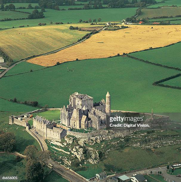 ENCLOSURE in CashelENCLOSURE · 748 yd
 C17TH HOUSE & BAWN (unlocated) in CosbystownC17TH HOUSE & BAWN (unlocated) · 1183 yd
 HOLY WELL in Drumcrow EastHOLY WELL · 1.0 mi
 C17TH CHURCH in DerrygonnellyC17TH CHURCH · 1.3 mi
 Rabbit IslandIsland · 1.4 mi
 Orange HallHall · 1.5 mi
 Rocky IslandIslet · 1.5 mi
 Tullycarbry ForestForest · 2.2 mi
 Tully CastleCastle · 2.2 mi
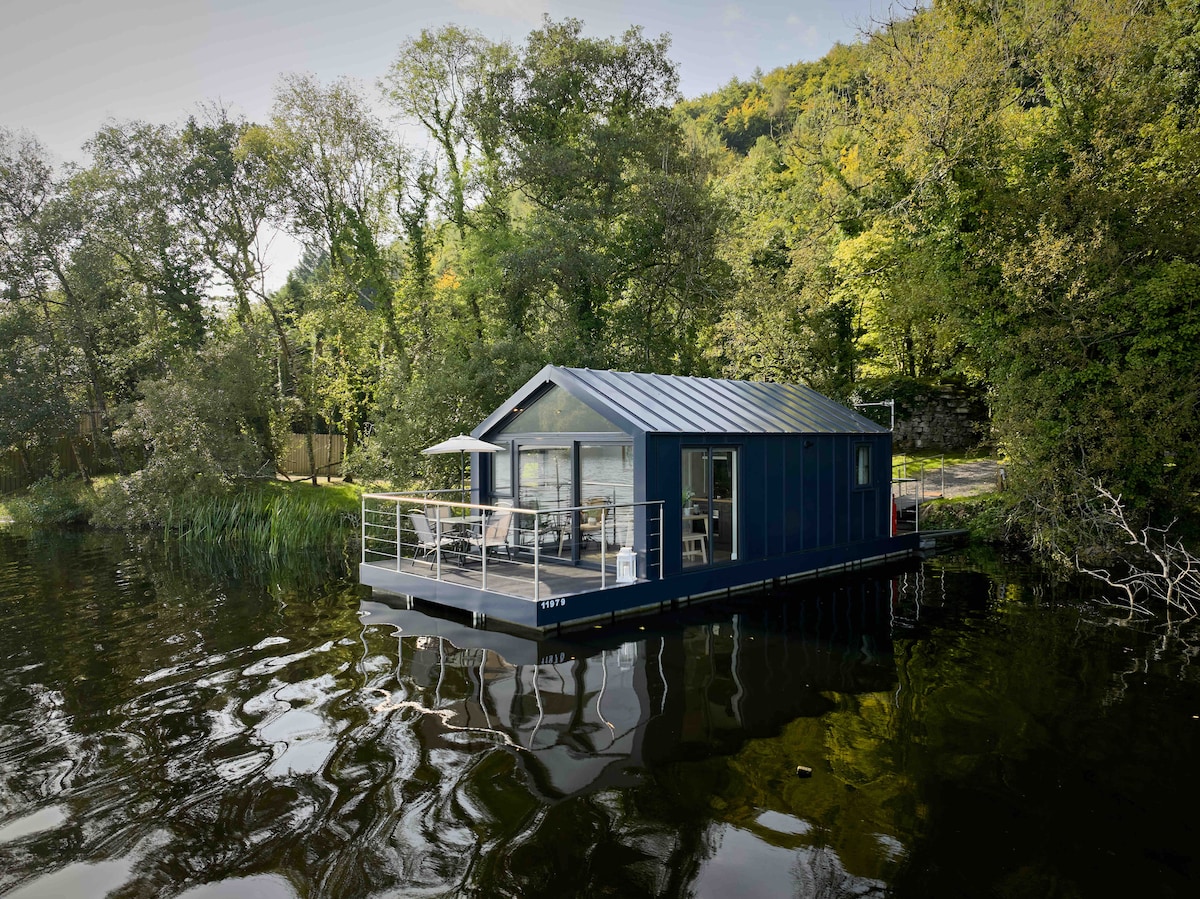 Carrickreagh WoodWood · 2.6 mi
 Monea CastleHeritage attraction · 2.9 mi
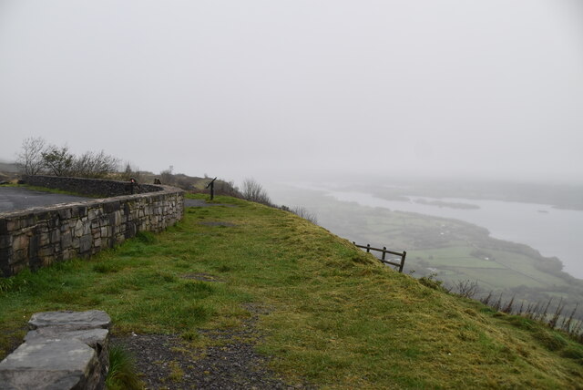 Cliffs of MaghoViewpoint · 5.5 mi