What is recorded here
Drumconor holds a rath, an ancient earthwork whose boundary still traces the shape of human hands. The official record preserves only the name and kind, leaving the lived story absent. A person may have walked that rim at dusk, listened for movement in the grass, and carried the place inside their body before forgetting it.
The official Northern Ireland record identifies this as RATH. Recorded period: E.CHRIST.. The official map point was placed at the centre of the recorded archaeological site from the source map reference.
The monument record does not grant public access. Check the route and ask the landowner before entering private land.
- What survives
- Recorded monument
Places near here
 RathArchaeological place · 1.1 mi
 FormilMountain / peak · 1.3 mi
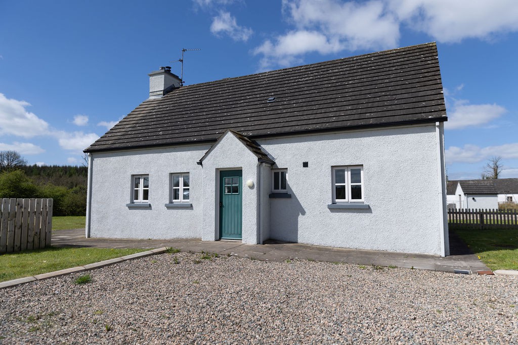 Gole WoodWood · 1.3 mi
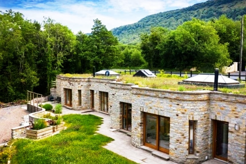 ENCLOSURE in DresternanENCLOSURE · 1.6 mi
 Reilly WoodWood · 1.6 mi
 CrannodIslet · 1.9 mi
 DerryhoolyMountain / peak · 2.0 mi
 Crehan IslandIsland · 2.2 mi
 Inisherk Trail, CromWalking route · 2.3 mi
 Summer HouseEstate Related Structures · 2.5 mi
 Old BoathouseRuins · 2.5 mi
 Turf HouseHeritage attraction · 2.7 mi