What is recorded here
No visible mound remains in Drumbrughas, yet the name Rath still marks the place where human hands shaped the land. That much is certain. Whether the site held a fortress, a boundary marker or a burial ground is no longer knowable. The earth has taken back what it gave.
The official Northern Ireland record identifies this as RATH. Recorded period: E.CHRIST.. The official map point was placed at the centre of the recorded archaeological site from the source map reference.
The monument record does not grant public access. Check the route and ask the landowner before entering private land.
- What survives
- Recorded monument
Places near here
 Giant's GraveArchaeological place · 1508 yd
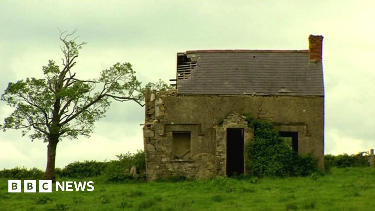 ENCLOSUREENCLOSURE, RATH? · 1691 yd
 InishlirrooIsland · 1.1 mi
 RathArchaeological place · 1.1 mi
 Naan Island SouthIsland · 1.1 mi
 St. Ninnidh's Rc ChurchChurch · 1.5 mi
 Lady Craigavon BridgeBridge · 2.7 mi
 Inishbeg HillMountain / peak · 3.1 mi
 Molly MountainMountain / peak · 3.2 mi
 Slatequay WoodWood · 3.5 mi
 Temple Will WoodWood · 3.5 mi
 MEDIEVAL PARISH CHURCH; GRAVEYARD; HOLY WELL: KINAWLEY CHURCH or CELL NAILE or ST. NAILE'S WELL in LismonaghanMEDIEVAL PARISH CHURCH; GRAVEYARD; HOLY WELL: KINAWLEY CHURCH or CELL NAILE or ST. NAILE'S WELL · 3.9 mi