What is recorded here
Drumadillar holds a rath, an ancient fortified place marked on the official map in County Fermanagh. The stones may have served as a boundary marker, a seasonal home, or a warning to passing traders. People likely walked its edge during storms or celebrated when rain stopped. The land remembers that human life shaped it before modern roads arrived.
The official Northern Ireland record identifies this as RATH. Recorded period: E.CHRIST.. The official map point was placed at the centre of the recorded archaeological site from the source map reference.
The monument record does not grant public access. Check the route and ask the landowner before entering private land.
- What survives
- Recorded monument
Places near here
 Orange HallHall · 1037 yd
 C17TH CHURCH in DerrygonnellyC17TH CHURCH · 1190 yd
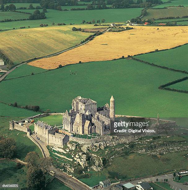 ENCLOSURE in CashelENCLOSURE · 1364 yd
 Tullycarbry ForestForest · 1.0 mi
 C17TH HOUSE & BAWN (unlocated) in CosbystownC17TH HOUSE & BAWN (unlocated) · 1.5 mi
 ENCLOSURE in Killyveagh GlebeENCLOSURE · 1.9 mi
 Carrick Lough CrannógIslet · 2.6 mi
 Rabbit IslandIsland · 2.6 mi
 Monea CastleHeritage attraction · 2.6 mi
 Carrickreagh WoodWood · 2.9 mi
 Tully CastleCastle · 3.0 mi
 Pollnagollum CaveCave · 5.4 mi