What is recorded here
RATH in Derrylea, County Fermanagh, is an archaeological site recorded for the early Christian period. The name Rath suggests a fortified place or boundary marker, yet no wall, ditch or structure remains visible to test that meaning. The land may have hidden a small stronghold, a seasonal camp or a sacred marker before farming and forgetting erased it.
The official Northern Ireland record identifies this as RATH. Recorded period: E.CHRIST.. The official map point was placed at the centre of the recorded archaeological site from the source map reference.
The monument record does not grant public access. Check the route and ask the landowner before entering private land.
- What survives
- Recorded monument
Places near here
 ENCLOSURE in Inish RathENCLOSURE · 1.6 mi
 Creaghanachreesty IslandIsland · 1.6 mi
 Dernish IslandIslet · 1.6 mi
 ENCLOSURE? in Aghamore SouthENCLOSURE? · 1.7 mi
 Lady Craigavon BridgeBridge · 1.8 mi
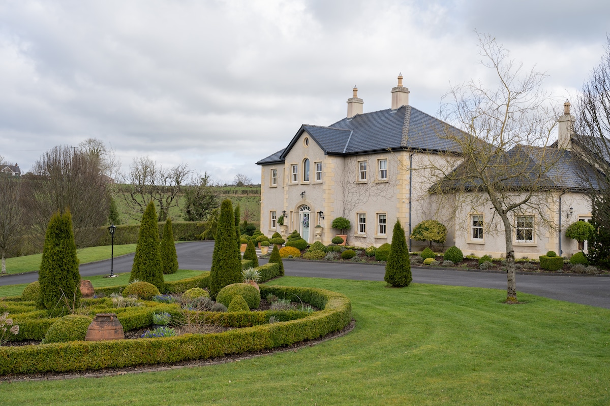 PLANTATION HOUSE & BAWN & LATER HOUSE: MANOR WATERHOUSE in Manor Water HousePLANTATION HOUSE & BAWN & LATER HOUSE: MANOR WATERHOUSE · 1.8 mi
 Reilly WoodWood · 2.3 mi
 Turf HouseHeritage attraction · 2.3 mi
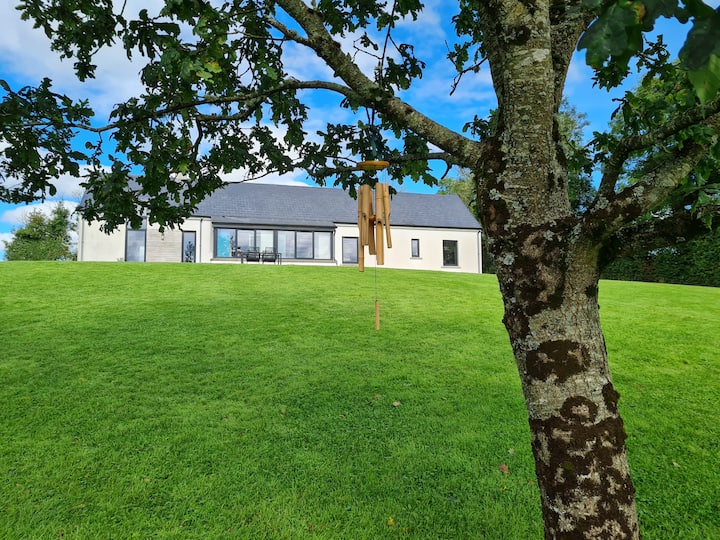 Knocknabrass WoodWood · 2.4 mi
 Crom CastleCastle · 2.5 mi
 Summer HouseEstate Related Structures · 2.6 mi
 Inisherk Trail, CromWalking route · 2.6 mi