What is recorded here
No visible trace remains on the open field, yet the flat ground and hidden ditch still mark the boundary of a living world. People may have built walls, not to keep others out but to hold the shape of their own days. The land remembers the pressure of that intention long after the stones disappeared.
The official Northern Ireland record identifies this as RATH. Recorded period: E.CHRIST.. The official map point was placed at the centre of the recorded archaeological site from the source map reference.
The monument record does not grant public access. Check the route and ask the landowner before entering private land.
- What survives
- Recorded monument
Places near here
 Dernish IslandIslet · 74 yd
 Crehan IslandIsland · 730 yd
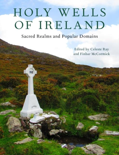 HOLY WELL in ReillyHOLY WELL · 1236 yd
 Reilly WoodWood · 1275 yd
 ENCLOSURE in Inish RathENCLOSURE · 1413 yd
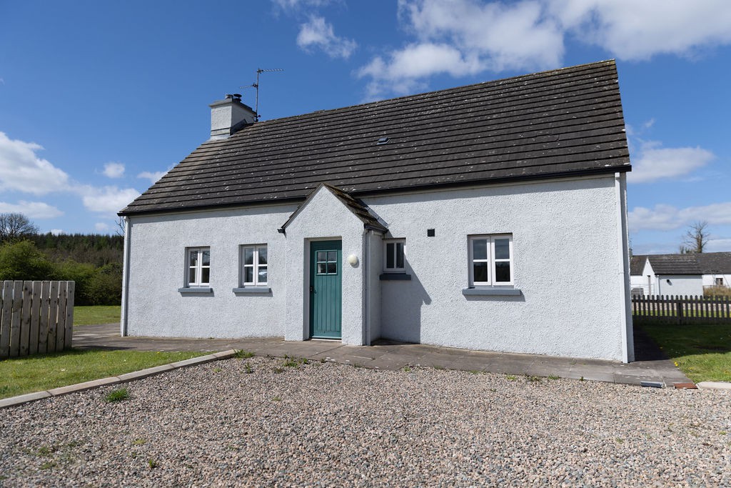 Gole WoodWood · 1.2 mi
 Turf HouseHeritage attraction · 1.2 mi
 Inisherk Trail, CromWalking route · 1.3 mi
 Summer HouseEstate Related Structures · 1.4 mi
 Old BoathouseRuins · 1.4 mi
 Crom CastleCastle · 1.4 mi
 Deer park viewing platformHeritage attraction · 1.5 mi