What is recorded here
Boltnaconnell holds a rath, an ancient earthwork whose boundary still traces the shape of human ambition. The official record offers no date, no owner, no event, only a point at the centre of a site that someone once shaped from soil. That absence is not a failure; it is a invitation to imagine the hands that dug, the children who played at its edge, and the years when the field still remembered their names.
The official Northern Ireland record identifies this as RATH. Recorded period: E.CHRIST.. The official map point was placed at the centre of the recorded archaeological site from the source map reference.
The monument record does not grant public access. Check the route and ask the landowner before entering private land.
- What survives
- Recorded monument
Places near here
 ENCLOSURE (CHART) in KilcrossENCLOSURE (CHART) · 1208 yd
 ENCLOSURE & Man-made underground passage (O.S. memoir site, unlocated) in BoltnaconnellENCLOSURE & Man-made underground passage (O.S. memoir site, unlocated) · 1297 yd
 CHURCH: CHAPEL OF KILTRODAN (unlocated) in DundrodCHURCH: CHAPEL OF KILTRODAN (unlocated) · 2.5 mi
_-_geograph.org.uk_-_2997020.jpg?width=1280) Railway viaductViaduct · 3.3 mi
Railway viaductViaduct · 3.3 mi CASTLE?: OLDSTONE HILL (unlocated) in OldstoneCASTLE?: OLDSTONE HILL (unlocated) · 4.0 mi
 Castle UptonCastle · 4.5 mi
 Main StreetVisitor information · 4.7 mi
 DivisMountain / peak · 5.3 mi
 Rea's WoodWood · 5.6 mi
 Slievenacloy Nature ReserveNature reserve · 5.6 mi
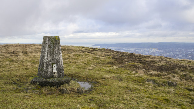 Black HillMountain / peak · 6.3 mi
 Lisburn War MemorialMemorial · 9.9 mi