What is recorded here
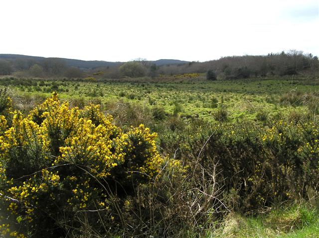
Belraugh still holds the buried line of a Rath, though no wall stands above the soil. That much is clear. The rest is guesswork: whether it marked a farm, a boundary, a childhood road or a forgotten field, and when people last walked it.
The official Northern Ireland record identifies this as RATH. Recorded period: E.CHRIST.. The official map point was placed at the centre of the recorded archaeological site from the source map reference.
The monument record does not grant public access. Check the route and ask the landowner before entering private land.
- What survives
- Recorded monument
Places near here
 LARGE ENCLOSURE: CASHEL in FreughLARGE ENCLOSURE: CASHEL · 1.2 mi
 A.P. SITEA.P. SITE, circular enclosure · 1.3 mi
 Cam ForestForest · 1.6 mi
 Gortnamoyagh ForestForest · 2.2 mi
 Donald's HillMountain / peak · 3.5 mi
 Ulster BankBank · 3.8 mi
 Ulster War Memorial Clock TowerMemorial · 3.9 mi
 Killyvally BridgeBridge · 3.9 mi
 Keady MountainMountain / peak · 4.8 mi
 Legananam PotCliff · 5.3 mi
 DrenaghCastle · 6.9 mi
 Green Lane MuseumMuseum · 7.1 mi