What is recorded here
Belcoo West holds a rath, an ancient earthwork that has watched the Fermanagh sky since before written history. Its boundary remains visible in the landscape, marking a place where early people shaped the land for residence or defence. The site endures as a quiet reminder that human life occupied this west Fermanagh area long before modern records began.
The official Northern Ireland record identifies this as RATH. Recorded period: E.CHRIST.. The official map point was placed at the centre of the recorded archaeological site from the source map reference.
The monument record does not grant public access. Check the route and ask the landowner before entering private land.
- What survives
- Recorded monument
Places near here
 FORTIFICATION in Belcoo WestFORTIFICATION · 428 yd
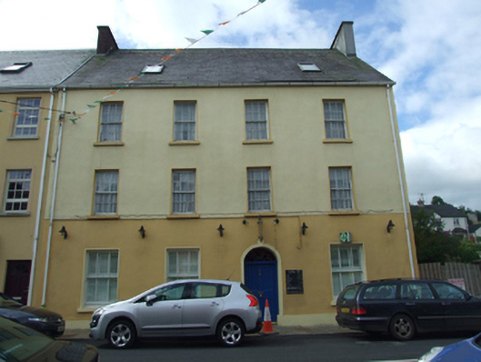 Olive Grovehouse · 618 yd
 The Market Housemarket house · 629 yd
 CarnArchaeological place · 863 yd
 Teampull RuisínHeritage attraction · 1221 yd
 Saint Patrick's Holy WellSpring · 1247 yd
 AughrimMountain / peak · 1.1 mi
 Corry PointHeadland · 1.2 mi
 Kilrooscagh IslandIslet · 1.2 mi
 InisheeIsland · 1.5 mi
 CullentraghMountain / peak · 1.6 mi
 Crannog IslandWood · 1.6 mi