What is recorded here
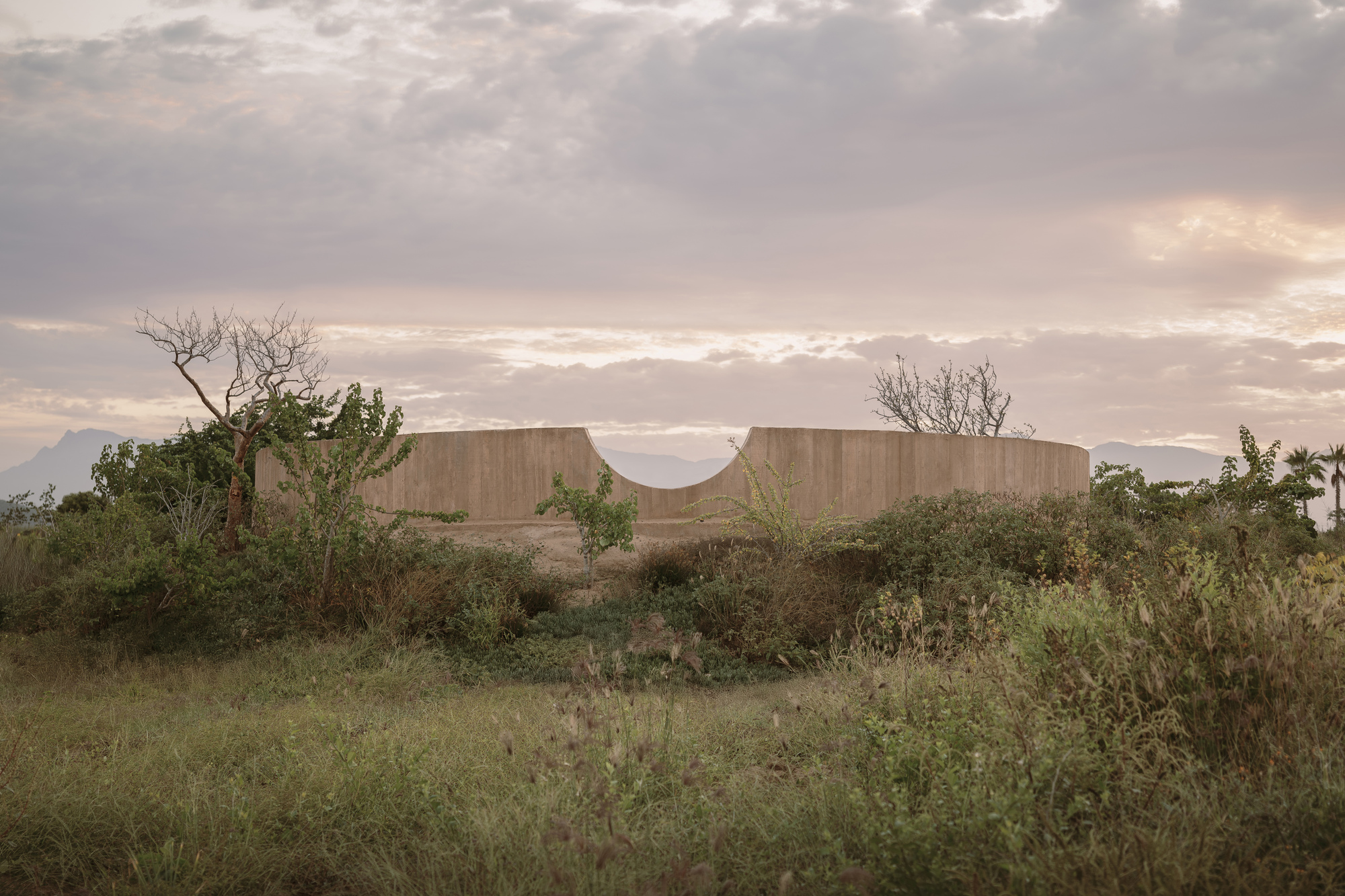
Beagh holds a rath, a circular earthwork from the early Christian period when people built visible boundaries around sacred or domestic life. The official record preserves little besides its shape and region, yet the survival of its name suggests it remained a landmark long after hands stopped shaping its bank. Perhaps it marked a household, a worship place or a boundary between competing claims. In that gap between fact and forgetting, Beagh becomes a chamber where imagination must enter without pretending to certainty.
The official Northern Ireland record identifies this as RATH. Recorded period: E.CHRIST.. The official map point was placed at the centre of the recorded archaeological site from the source map reference.
The monument record does not grant public access. Check the route and ask the landowner before entering private land.
- What survives
- Recorded monument
Places near here
 ENCLOSURE in CrewENCLOSURE · 1392 yd
 ENCLOSURE (O.S. memoir site, unlocated) in Beagh SpiritualENCLOSURE (O.S. memoir site, unlocated) · 1438 yd
 St. Lurach's ChurchChurch · 1.3 mi
 Ulster BankBank · 1.4 mi
 Craigadick Picnic AreaPicnic place · 1.9 mi
 Drumnaph ForestWood · 3.1 mi
 Scroggy Mass RockNamed rock · 4.7 mi
 Altkeeran WaterfallWaterfall · 5.2 mi
 Bellaghy BawnMuseum · 5.3 mi
 PLANTATION CASTLE & BAWN on site of RATH: BELLAGHY BAWN in Old Town Deer ParkPLANTATION CASTLE & BAWN on site of RATH: BELLAGHY BAWN · 5.3 mi
 War MemorialMonument · 5.4 mi
 Portglenone ForestForest · 6.0 mi