What is recorded here
Mnemo knows the anchor as a Rath in Ballynafoy, County Down. The name is clear even when the visible shape has faded. A rath is a made place, a boundary drawn by human hands around a life that no longer answers. The field may have lost its ridge, its gate and its marker. It has not lost the fact that people shaped it for living, watching, keeping or remembering.
The official Northern Ireland record identifies this as RATH. Recorded period: E.CHRIST.. The official map point was placed at the centre of the recorded archaeological site from the source map reference.
The monument record does not grant public access. Check the route and ask the landowner before entering private land.
- What survives
- Recorded monument
Places near here
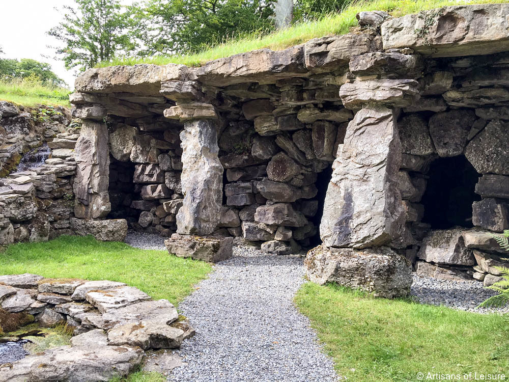 ENCLOSURE in BallynafoyENCLOSURE · 711 yd
 AP CropmarkAP Cropmark, Possible oval enclosure · 852 yd
 Knockiveagh Picnic SitePicnic place · 1.9 mi
 KnockiveaghMountain / peak · 2.0 mi
 Poland's BridgeBridge · 2.6 mi
 OuleyMountain / peak · 2.7 mi
_-_geograph.org.uk_-_3702332.jpg?width=1280) Mulligan's BridgeBridge · 3.1 mi
Mulligan's BridgeBridge · 3.1 mi Game of Thrones Studio TourHeritage attraction · 3.1 mi
 FE McWilliam Gallery and StudioGallery · 3.6 mi
 The Brontë CentreVisitor information · 3.9 mi
 CASTLE & RATH reused as BAILEY: SEAFIN CASTLE; Magh Cobha; Moycove in SeafinCASTLE & RATH reused as BAILEY: SEAFIN CASTLE; Magh Cobha; Moycove · 3.9 mi
 Downshire BridgeMemorial · 4.2 mi